Distance from Midland to Houston
Distance between Midland and Houston is 687 kilometers (427 miles).
Driving distance from Midland to Houston is 766 kilometers (476 miles).
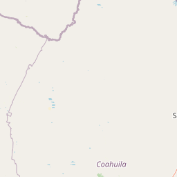
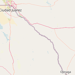
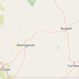
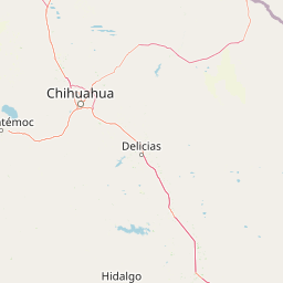
Distance Map Between Midland and Houston
Midland, Austin, United States ↔ Houston, Austin, United States = 427 miles = 687 km.


How far is it between Midland and Houston
Midland is located in United States with (31.9974,-102.0779) coordinates and Houston is located in United States with (29.7633,-95.3633) coordinates. The calculated flying distance from Midland to Houston is equal to 427 miles which is equal to 687 km.
If you want to go by car, the driving distance between Midland and Houston is 765.63 km. If you ride your car with an average speed of 112 kilometers/hour (70 miles/h), travel time will be 06 hours 50 minutes. Please check the avg. speed travel time table on the right for various options.
Difference between fly and go by a car is 79 km.
| City/Place | Latitude and Longitude | GPS Coordinates |
|---|---|---|
| Midland | 31.9974, -102.0779 | 31° 59´ 50.4600'' N 102° 4´ 40.4760'' W |
| Houston | 29.7633, -95.3633 | 29° 45´ 47.8080'' N 95° 21´ 47.7720'' W |
Estimated Travel Time Between Midland and Houston
| Average Speed | Travel Time |
|---|---|
| 30 mph (48 km/h) | 15 hours 57 minutes |
| 40 mph (64 km/h) | 11 hours 57 minutes |
| 50 mph (80 km/h) | 09 hours 34 minutes |
| 60 mph (97 km/h) | 07 hours 53 minutes |
| 70 mph (112 km/h) | 06 hours 50 minutes |
| 75 mph (120 km/h) | 06 hours 22 minutes |
Related Distances from Midland
| Cities | Distance |
|---|---|
| Midland to Abilene | 244 km |
| Midland to Alamo 2 | 908 km |
| Midland to Aldine | 765 km |
| Midland to Alice | 726 km |
| Midland to Allen | 573 km |
| Midland to Alvin | 810 km |
| Midland to Amarillo | 385 km |
| Midland to Angleton | 792 km |
| Midland to Arlington | 504 km |
| Midland to Atascocita | 789 km |
Related Distances to Houston
| Cities | Distance |
|---|---|
| Amarillo to Houston | 965 km |
| Del Rio to Houston | 559 km |
| El Paso to Houston | 1201 km |
| Socorro to Houston | 1178 km |
| Paris 2 to Houston | 494 km |
| Nacogdoches to Houston | 227 km |
| White Settlement to Houston | 436 km |
| San Antonio to Houston | 317 km |
| Weslaco to Houston | 557 km |
| Texarkana to HOUSTON | 465 km |