Distance from Midland to San Antonio
Distance between Midland and San Antonio is 446 kilometers (277 miles).
Driving distance from Midland to San Antonio is 522 kilometers (325 miles).
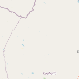
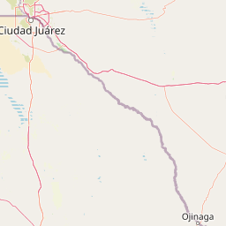
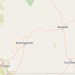
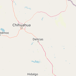
Distance Map Between Midland and San Antonio
Midland, Austin, United States ↔ San Antonio, Austin, United States = 277 miles = 446 km.


How far is it between Midland and San Antonio
Midland is located in United States with (31.9974,-102.0779) coordinates and San Antonio is located in United States with (29.4241,-98.4936) coordinates. The calculated flying distance from Midland to San Antonio is equal to 277 miles which is equal to 446 km.
If you want to go by car, the driving distance between Midland and San Antonio is 522.35 km. If you ride your car with an average speed of 112 kilometers/hour (70 miles/h), travel time will be 04 hours 39 minutes. Please check the avg. speed travel time table on the right for various options.
Difference between fly and go by a car is 76 km.
| City/Place | Latitude and Longitude | GPS Coordinates |
|---|---|---|
| Midland | 31.9974, -102.0779 | 31° 59´ 50.4600'' N 102° 4´ 40.4760'' W |
| San Antonio | 29.4241, -98.4936 | 29° 25´ 26.8320'' N 98° 29´ 37.0680'' W |
Estimated Travel Time Between Midland and San Antonio
| Average Speed | Travel Time |
|---|---|
| 30 mph (48 km/h) | 10 hours 52 minutes |
| 40 mph (64 km/h) | 08 hours 09 minutes |
| 50 mph (80 km/h) | 06 hours 31 minutes |
| 60 mph (97 km/h) | 05 hours 23 minutes |
| 70 mph (112 km/h) | 04 hours 39 minutes |
| 75 mph (120 km/h) | 04 hours 21 minutes |
Related Distances from Midland
| Cities | Distance |
|---|---|
| Midland to Lubbock | 189 km |
| Midland to Dallas | 531 km |
| Midland to Houston | 766 km |
| Midland to Abilene | 244 km |
| Midland to San Antonio | 522 km |
Related Distances to San Antonio
| Cities | Distance |
|---|---|
| Dallas to San Antonio | 442 km |
| El Paso to San Antonio | 887 km |
| Waco to San Antonio | 291 km |
| Seguin to San Antonio | 59 km |
| Del Rio to San Antonio | 247 km |