Distance from Milwaukee to Pembroke
Distance between Milwaukee and Pembroke is 910 kilometers (565 miles).
Driving distance from Milwaukee to Pembroke is 1379 kilometers (857 miles).
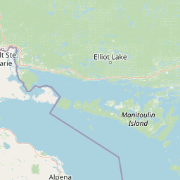
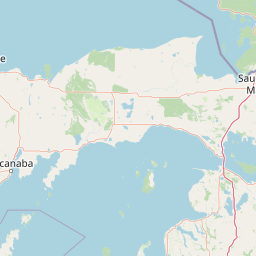
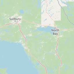
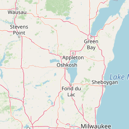
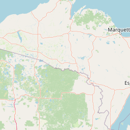
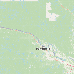
Distance Map Between Milwaukee and Pembroke
Milwaukee, Madison, United States ↔ Pembroke, Ontario, Canada = 565 miles = 910 km.


How far is it between Milwaukee and Pembroke
Milwaukee is located in United States with (43.0389,-87.9065) coordinates and Pembroke is located in Canada with (45.8168,-77.1162) coordinates. The calculated flying distance from Milwaukee to Pembroke is equal to 565 miles which is equal to 910 km.
If you want to go by car, the driving distance between Milwaukee and Pembroke is 1379.02 km. If you ride your car with an average speed of 112 kilometers/hour (70 miles/h), travel time will be 12 hours 18 minutes. Please check the avg. speed travel time table on the right for various options.
Difference between fly and go by a car is 469 km.
| City/Place | Latitude and Longitude | GPS Coordinates |
|---|---|---|
| Milwaukee | 43.0389, -87.9065 | 43° 2´ 20.0400'' N 87° 54´ 23.2920'' W |
| Pembroke | 45.8168, -77.1162 | 45° 49´ 0.5160'' N 77° 6´ 58.1760'' W |
Estimated Travel Time Between Milwaukee and Pembroke
| Average Speed | Travel Time |
|---|---|
| 30 mph (48 km/h) | 28 hours 43 minutes |
| 40 mph (64 km/h) | 21 hours 32 minutes |
| 50 mph (80 km/h) | 17 hours 14 minutes |
| 60 mph (97 km/h) | 14 hours 13 minutes |
| 70 mph (112 km/h) | 12 hours 18 minutes |
| 75 mph (120 km/h) | 11 hours 29 minutes |
Related Distances from Milwaukee
| Cities | Distance |
|---|---|
| Milwaukee to Toronto | 785 km |
| Milwaukee to Sault Ste Marie | 647 km |
| Milwaukee to Montreal | 1313 km |
| Milwaukee to Quebec | 1789 km |
| Milwaukee to Winnipeg | 1272 km |
Related Distances to Pembroke
| Cities | Distance |
|---|---|
| New York City to Pembroke | 828 km |
| Pompano Beach to Pembroke Pines | 34 km |
| West Palm Beach to Pembroke Pines | 91 km |
| Weston to Pembroke Pines | 35 km |
| Sunrise to Pembroke Pines | 27 km |