Distance from Minot to Yellowknife
Distance between Minot and Yellowknife is 1776 kilometers (1104 miles).
Driving distance from Minot to Yellowknife is 2598 kilometers (1614 miles).
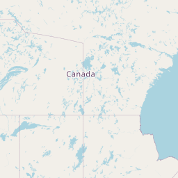
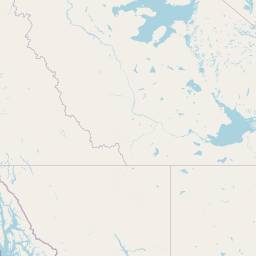
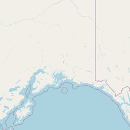
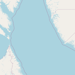
Distance Map Between Minot and Yellowknife
Minot, Bismarck, United States ↔ Yellowknife, Canada = 1104 miles = 1776 km.


How far is it between Minot and Yellowknife
Minot is located in United States with (48.2325,-101.2963) coordinates and Yellowknife is located in Canada with (62.456,-114.3526) coordinates. The calculated flying distance from Minot to Yellowknife is equal to 1104 miles which is equal to 1776 km.
If you want to go by car, the driving distance between Minot and Yellowknife is 2598.2 km. If you ride your car with an average speed of 112 kilometers/hour (70 miles/h), travel time will be 23 hours 11 minutes. Please check the avg. speed travel time table on the right for various options.
Difference between fly and go by a car is 822 km.
| City/Place | Latitude and Longitude | GPS Coordinates |
|---|---|---|
| Minot | 48.2325, -101.2963 | 48° 13´ 57.0360'' N 101° 17´ 46.5720'' W |
| Yellowknife | 62.456, -114.3526 | 62° 27´ 21.6000'' N 114° 21´ 9.1800'' W |
Estimated Travel Time Between Minot and Yellowknife
| Average Speed | Travel Time |
|---|---|
| 30 mph (48 km/h) | 54 hours 07 minutes |
| 40 mph (64 km/h) | 40 hours 35 minutes |
| 50 mph (80 km/h) | 32 hours 28 minutes |
| 60 mph (97 km/h) | 26 hours 47 minutes |
| 70 mph (112 km/h) | 23 hours 11 minutes |
| 75 mph (120 km/h) | 21 hours 39 minutes |
Related Distances from Minot
| Cities | Distance |
|---|---|
| Minot to Regina | 392 km |
| Minot to Winnipeg | 464 km |
| Minot to Ontario | 2641 km |
| Minot to Saskatoon | 648 km |
| Minot to Sault Ste Marie | 1435 km |
Related Distances to Yellowknife
| Cities | Distance |
|---|---|
| Seattle to Yellowknife | 2388 km |
| Spokane to Yellowknife | 2431 km |
| Coeur D Alene to Yellowknife | 2387 km |
| Bellingham to Yellowknife | 2341 km |
| Grand Forks to Yellowknife | 2938 km |