Distance from Mixco to Tumaco
Distance between Mixco and Tumaco is 1927 kilometers (1197 miles).
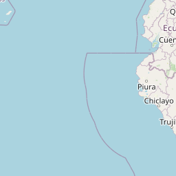
Distance Map Between Mixco and Tumaco
Mixco, Guatemala City, Guatemala ↔ Tumaco, Pasto, Colombia = 1197 miles = 1927 km.


Leaflet | © OpenStreetMap
How far is it between Mixco and Tumaco
Mixco is located in Guatemala with (14.6333,-90.6064) coordinates and Tumaco is located in Colombia with (1.7986,-78.8156) coordinates. The calculated flying distance from Mixco to Tumaco is equal to 1197 miles which is equal to 1927 km.
| City/Place | Latitude and Longitude | GPS Coordinates |
|---|---|---|
| Mixco | 14.6333, -90.6064 | 14° 37´ 59.9880'' N 90° 36´ 23.0040'' W |
| Tumaco | 1.7986, -78.8156 | 1° 47´ 54.9960'' N 78° 48´ 56.0160'' W |
Mixco, Guatemala City, Guatemala
Related Distances from Mixco
| Cities | Distance |
|---|---|
| Mixco to Villa Nueva | 15 km |
| Mixco to San Jose Pinula | 32 km |
| Mixco to Petapa | 21 km |
| Mixco to Santa Catarina Pinula | 19 km |
| Mixco to San Pedro Ayampuc | 38 km |
Tumaco, Pasto, Colombia
Related Distances to Tumaco
| Cities | Distance |
|---|---|
| La Union 6 to Tumaco | 371 km |
| Ipiales to Tumaco | 231 km |
| Tuquerres to Tumaco | 208 km |