Distance from Modesto to Daly City
Distance between Modesto and Daly City is 129 kilometers (80 miles).
Driving distance from Modesto to Daly City is 157 kilometers (97 miles).
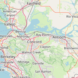
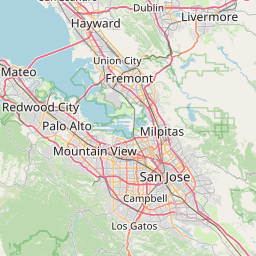
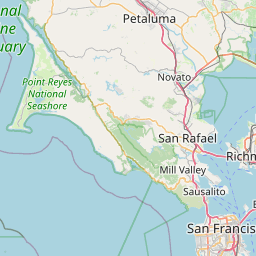
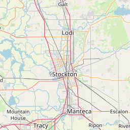
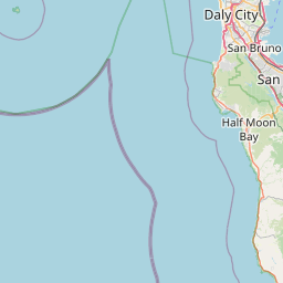
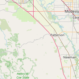
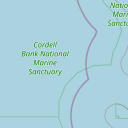
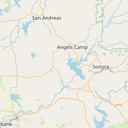
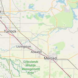
Distance Map Between Modesto and Daly City
Modesto, Sacramento, United States ↔ Daly City, Sacramento, United States = 80 miles = 129 km.


How far is it between Modesto and Daly City
Modesto is located in United States with (37.6391,-120.9969) coordinates and Daly City is located in United States with (37.7058,-122.4619) coordinates. The calculated flying distance from Modesto to Daly City is equal to 80 miles which is equal to 129 km.
If you want to go by car, the driving distance between Modesto and Daly City is 156.76 km. If you ride your car with an average speed of 112 kilometers/hour (70 miles/h), travel time will be 01 hours 23 minutes. Please check the avg. speed travel time table on the right for various options.
Difference between fly and go by a car is 28 km.
| City/Place | Latitude and Longitude | GPS Coordinates |
|---|---|---|
| Modesto | 37.6391, -120.9969 | 37° 38´ 20.7600'' N 120° 59´ 48.7680'' W |
| Daly City | 37.7058, -122.4619 | 37° 42´ 20.7720'' N 122° 27´ 42.9120'' W |
Estimated Travel Time Between Modesto and Daly City
| Average Speed | Travel Time |
|---|---|
| 30 mph (48 km/h) | 03 hours 15 minutes |
| 40 mph (64 km/h) | 02 hours 26 minutes |
| 50 mph (80 km/h) | 01 hours 57 minutes |
| 60 mph (97 km/h) | 01 hours 36 minutes |
| 70 mph (112 km/h) | 01 hours 23 minutes |
| 75 mph (120 km/h) | 01 hours 18 minutes |
Related Distances from Modesto
| Cities | Distance |
|---|---|
| Modesto to Fresno | 156 km |
| Modesto to Los Angeles | 505 km |
| Modesto to Merced | 64 km |
| Modesto to Bakersfield | 328 km |
| Modesto to Manteca | 28 km |
Related Distances to Daly City
| Cities | Distance |
|---|---|
| Palo Alto to Daly City | 49 km |
| San Francisco to Daly City | 12 km |
| Los Angeles to Daly City | 620 km |
| San Mateo 2 to Daly City | 27 km |
| East Palo Alto to Daly City | 47 km |