Distance from Mol to Rotselaar
Distance between Mol and Rotselaar is 39 kilometers (24 miles).
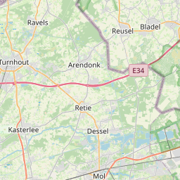
Distance Map Between Mol and Rotselaar
Mol, , Belgium ↔ Rotselaar, , Belgium = 24 miles = 39 km.


Leaflet | © OpenStreetMap
How far is it between Mol and Rotselaar
Mol is located in Belgium with (51.1919,5.1166) coordinates and Rotselaar is located in Belgium with (50.953,4.7167) coordinates. The calculated flying distance from Mol to Rotselaar is equal to 24 miles which is equal to 39 km.
| City/Place | Latitude and Longitude | GPS Coordinates |
|---|---|---|
| Mol | 51.1919, 5.1166 | 51° 11´ 30.7680'' N 5° 6´ 59.8320'' E |
| Rotselaar | 50.953, 4.7167 | 50° 57´ 10.8720'' N 4° 42´ 59.9400'' E |
Mol, , Belgium
Related Distances from Mol
| Cities | Distance |
|---|---|
| Mol to Tienen | 63 km |
| Mol to Wervik | 176 km |
| Mol to Sint Truiden | 57 km |
| Mol to Turnhout | 24 km |
| Mol to Zaventem | 90 km |
Rotselaar, , Belgium
Related Distances to Rotselaar
| Cities | Distance |
|---|---|
| Leuven to Rotselaar | 12 km |
| Roeselare to Rotselaar | 160 km |
| Balen to Rotselaar | 61 km |
| Brugge to Rotselaar | 134 km |
| Herentals to Rotselaar | 35 km |