Distance from Mombasa to Kabare
Distance between Mombasa and Kabare is 1219 kilometers (758 miles).
Driving distance from Mombasa to Kabare is 1705 kilometers (1059 miles).
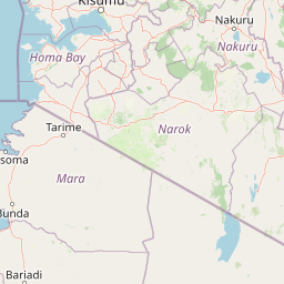
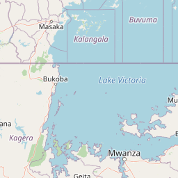
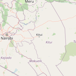
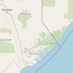
Distance Map Between Mombasa and Kabare
Mombasa, Kenya ↔ Kabare, Bukavu, Democratic Republic of the Congo = 758 miles = 1219 km.


How far is it between Mombasa and Kabare
Mombasa is located in Kenya with (-4.0547,39.6636) coordinates and Kabare is located in Democratic Republic of the Congo with (-2.4968,28.7908) coordinates. The calculated flying distance from Mombasa to Kabare is equal to 758 miles which is equal to 1219 km.
If you want to go by car, the driving distance between Mombasa and Kabare is 1704.89 km. If you ride your car with an average speed of 112 kilometers/hour (70 miles/h), travel time will be 15 hours 13 minutes. Please check the avg. speed travel time table on the right for various options.
Difference between fly and go by a car is 486 km.
| City/Place | Latitude and Longitude | GPS Coordinates |
|---|---|---|
| Mombasa | -4.0547, 39.6636 | 4° 3´ 16.7760'' S 39° 39´ 48.9240'' E |
| Kabare | -2.4968, 28.7908 | 2° 29´ 48.5520'' S 28° 47´ 26.9160'' E |
Estimated Travel Time Between Mombasa and Kabare
| Average Speed | Travel Time |
|---|---|
| 30 mph (48 km/h) | 35 hours 31 minutes |
| 40 mph (64 km/h) | 26 hours 38 minutes |
| 50 mph (80 km/h) | 21 hours 18 minutes |
| 60 mph (97 km/h) | 17 hours 34 minutes |
| 70 mph (112 km/h) | 15 hours 13 minutes |
| 75 mph (120 km/h) | 14 hours 12 minutes |
Related Distances from Mombasa
| Cities | Distance |
|---|---|
| Mombasa to Goma | 1597 km |
| Mombasa to Kisangani | 2297 km |
| Mombasa to Kinshasa | 4012 km |
| Mombasa to Bunia | 1642 km |
| Mombasa to Lubumbashi | 2347 km |
Related Distances to Kabare
| Cities | Distance |
|---|---|
| Nairobi to Kabare | 1439 km |
| Mombasa to Kabare | 1705 km |