Distance from Monkayo to Tagum
Distance between Monkayo and Tagum is 49 kilometers (30 miles).
Driving distance from Monkayo to Tagum is 64 kilometers (40 miles).
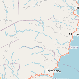
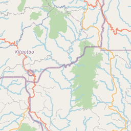
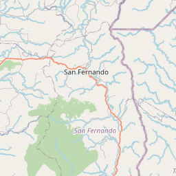
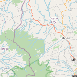
Distance Map Between Monkayo and Tagum
Monkayo, Davao, Philippines ↔ Tagum, Davao, Philippines = 30 miles = 49 km.
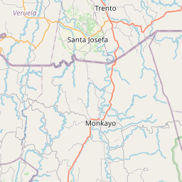
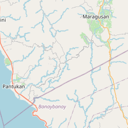

How far is it between Monkayo and Tagum
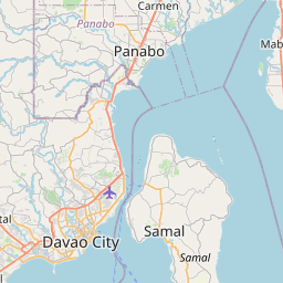
Monkayo is located in Philippines with (7.8153,126.0544) coordinates and Tagum is located in Philippines with (7.4478,125.8078) coordinates. The calculated flying distance from Monkayo to Tagum is equal to 30 miles which is equal to 49 km.
If you want to go by car, the driving distance between Monkayo and Tagum is 63.63 km. If you ride your car with an average speed of 112 kilometers/hour (70 miles/h), travel time will be 00 hours 34 minutes. Please check the avg. speed travel time table on the right for various options.
Difference between fly and go by a car is 15 km.
| City/Place | Latitude and Longitude | GPS Coordinates |
|---|---|---|
| Monkayo | 7.8153, 126.0544 | 7° 48´ 55.0080'' N 126° 3´ 15.9840'' E |
| Tagum | 7.4478, 125.8078 | 7° 26´ 52.0080'' N 125° 48´ 28.0080'' E |
Estimated Travel Time Between Monkayo and Tagum
| Average Speed | Travel Time |
|---|---|
| 30 mph (48 km/h) | 01 hours 19 minutes |
| 40 mph (64 km/h) | 00 hours 59 minutes |
| 50 mph (80 km/h) | 00 hours 47 minutes |
| 60 mph (97 km/h) | 00 hours 39 minutes |
| 70 mph (112 km/h) | 00 hours 34 minutes |
| 75 mph (120 km/h) | 00 hours 31 minutes |
Related Distances from Monkayo
| Cities | Distance |
|---|---|
| Monkayo to Tagum | 64 km |
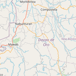
| Monkayo to Nabunturan | 32 km |
| Monkayo to Panabo | 86 km |
| Monkayo to Tupi | 288 km |
| Monkayo to Samal | 117 km |
Related Distances to Tagum
| Cities | Distance |
|---|---|
| Mati to Tagum | 110 km |
| Panabo to Tagum | 23 km |
| Butuan to Tagum | 231 km |
| Nabunturan to Tagum | 32 km |
| Digos to Tagum | 108 km |