Distance from Monterey to Long Beach
Distance between Monterey and Long Beach is 461 kilometers (286 miles).
Driving distance from Monterey to Long Beach is 551 kilometers (342 miles).
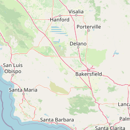
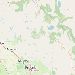
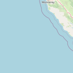
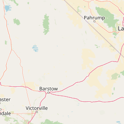
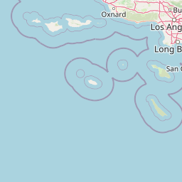
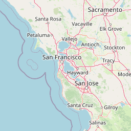
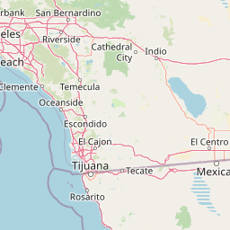
Distance Map Between Monterey and Long Beach
Monterey, Sacramento, United States ↔ Long Beach, Sacramento, United States = 286 miles = 461 km.


How far is it between Monterey and Long Beach
Monterey is located in United States with (36.6002,-121.8947) coordinates and Long Beach is located in United States with (33.767,-118.1892) coordinates. The calculated flying distance from Monterey to Long Beach is equal to 286 miles which is equal to 461 km.
If you want to go by car, the driving distance between Monterey and Long Beach is 550.55 km. If you ride your car with an average speed of 112 kilometers/hour (70 miles/h), travel time will be 04 hours 54 minutes. Please check the avg. speed travel time table on the right for various options.
Difference between fly and go by a car is 90 km.
| City/Place | Latitude and Longitude | GPS Coordinates |
|---|---|---|
| Monterey | 36.6002, -121.8947 | 36° 36´ 0.8640'' N 121° 53´ 40.8480'' W |
| Long Beach | 33.767, -118.1892 | 33° 46´ 1.0560'' N 118° 11´ 21.2280'' W |
Estimated Travel Time Between Monterey and Long Beach
| Average Speed | Travel Time |
|---|---|
| 30 mph (48 km/h) | 11 hours 28 minutes |
| 40 mph (64 km/h) | 08 hours 36 minutes |
| 50 mph (80 km/h) | 06 hours 52 minutes |
| 60 mph (97 km/h) | 05 hours 40 minutes |
| 70 mph (112 km/h) | 04 hours 54 minutes |
| 75 mph (120 km/h) | 04 hours 35 minutes |
Related Distances from Monterey
| Cities | Distance |
|---|---|
| Monterey to Los Angeles | 515 km |
| Monterey to Berkeley | 191 km |
| Monterey to Bakersfield | 354 km |
| Monterey to Long Beach | 551 km |
| Monterey to Fresno | 250 km |
Related Distances to Long Beach
| Cities | Distance |
|---|---|
| Los Angeles to Long Beach | 41 km |
| Newport Beach to Long Beach | 41 km |
| San Diego to Long Beach | 172 km |
| New York City to Long Beach 2 | 47 km |
| Pasadena 2 to Long Beach | 54 km |