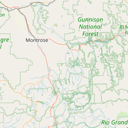
Distance from Montrose to Ken Caryl
Distance between Montrose and Ken Caryl is 268 kilometers (167 miles).
Driving distance from Montrose to Ken Caryl is 407 kilometers (253 miles).
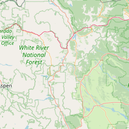
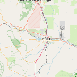
Distance Map Between Montrose and Ken Caryl
Montrose, Denver, United States ↔ Ken Caryl, Denver, United States = 167 miles = 268 km.


How far is it between Montrose and Ken Caryl
Montrose is located in United States with (38.4783,-107.8762) coordinates and Ken Caryl is located in United States with (39.5758,-105.1122) coordinates. The calculated flying distance from Montrose to Ken Caryl is equal to 167 miles which is equal to 268 km.
If you want to go by car, the driving distance between Montrose and Ken Caryl is 406.98 km. If you ride your car with an average speed of 112 kilometers/hour (70 miles/h), travel time will be 03 hours 38 minutes. Please check the avg. speed travel time table on the right for various options.
Difference between fly and go by a car is 139 km.
| City/Place | Latitude and Longitude | GPS Coordinates |
|---|---|---|
| Montrose | 38.4783, -107.8762 | 38° 28´ 41.9520'' N 107° 52´ 34.2120'' W |
| Ken Caryl | 39.5758, -105.1122 | 39° 34´ 32.9520'' N 105° 6´ 43.9560'' W |
Estimated Travel Time Between Montrose and Ken Caryl
| Average Speed | Travel Time |
|---|---|
| 30 mph (48 km/h) | 08 hours 28 minutes |
| 40 mph (64 km/h) | 06 hours 21 minutes |
| 50 mph (80 km/h) | 05 hours 05 minutes |
| 60 mph (97 km/h) | 04 hours 11 minutes |
| 70 mph (112 km/h) | 03 hours 38 minutes |
| 75 mph (120 km/h) | 03 hours 23 minutes |
Related Distances from Montrose
| Cities | Distance |
|---|---|
| Montrose to Colorado Springs | 379 km |
| Montrose to Grand Junction | 99 km |
| Montrose to Durango 2 | 172 km |
| Montrose to Canon City | 298 km |
| Montrose to Aurora | 437 km |
Related Distances to Ken Caryl
| Cities | Distance |
|---|---|
| Littleton to Ken Caryl | 13 km |
| Fort Collins to Ken Caryl | 136 km |
| Parker to Ken Caryl | 37 km |
| Boulder to Ken Caryl | 58 km |
| Greeley to Ken Caryl | 134 km |