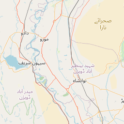
Distance from Moro to Ratodero
Distance between Moro and Ratodero is 130 kilometers (81 miles).
Driving distance from Moro to Ratodero is 185 kilometers (115 miles).
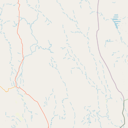
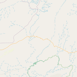
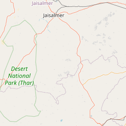
Distance Map Between Moro and Ratodero
Moro, Karachi, Pakistan ↔ Ratodero, Karachi, Pakistan = 81 miles = 130 km.


How far is it between Moro and Ratodero
Moro is located in Pakistan with (26.6646,68.0016) coordinates and Ratodero is located in Pakistan with (27.803,68.2871) coordinates. The calculated flying distance from Moro to Ratodero is equal to 81 miles which is equal to 130 km.
If you want to go by car, the driving distance between Moro and Ratodero is 185.35 km. If you ride your car with an average speed of 112 kilometers/hour (70 miles/h), travel time will be 01 hours 39 minutes. Please check the avg. speed travel time table on the right for various options.
Difference between fly and go by a car is 55 km.
| City/Place | Latitude and Longitude | GPS Coordinates |
|---|---|---|
| Moro | 26.6646, 68.0016 | 26° 39´ 52.5240'' N 68° 0´ 5.6160'' E |
| Ratodero | 27.803, 68.2871 | 27° 48´ 10.6560'' N 68° 17´ 13.4880'' E |
Estimated Travel Time Between Moro and Ratodero
| Average Speed | Travel Time |
|---|---|
| 30 mph (48 km/h) | 03 hours 51 minutes |
| 40 mph (64 km/h) | 02 hours 53 minutes |
| 50 mph (80 km/h) | 02 hours 19 minutes |
| 60 mph (97 km/h) | 01 hours 54 minutes |
| 70 mph (112 km/h) | 01 hours 39 minutes |
| 75 mph (120 km/h) | 01 hours 32 minutes |
Related Distances from Moro
| Cities | Distance |
|---|---|
| Moro to Sukkur | 156 km |
| Moro to Nawabshah | 87 km |
| Moro to Sehwan | 73 km |
| Moro to Khairpur | 137 km |
| Moro to Naushahro Firoz | 27 km |
Related Distances to Ratodero
| Cities | Distance |
|---|---|
| Larkana to Ratodero | 32 km |
| Jacobabad to Ratodero | 84 km |
| Hyderabad 2 to Ratodero | 344 km |
| Naudero to Ratodero | 18 km |
| Mehar to Ratodero | 96 km |