Distance from Morwa to Una
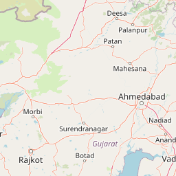
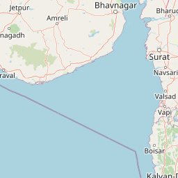
Distance between Morwa and Una is 370 kilometers (230 miles).
Distance Map Between Morwa and Una
Morwa, Ghandinagar, India ↔ Una, Ghandinagar, India = 230 miles = 370 km.


Leaflet | © OpenStreetMap
How far is it between Morwa and Una
Morwa is located in India with (22.9047,73.8391) coordinates and Una is located in India with (20.8232,71.038) coordinates. The calculated flying distance from Morwa to Una is equal to 230 miles which is equal to 370 km.
| City/Place | Latitude and Longitude | GPS Coordinates |
|---|---|---|
| Morwa | 22.9047, 73.8391 | 22° 54´ 16.8840'' N 73° 50´ 20.8320'' E |
| Una | 20.8232, 71.038 | 20° 49´ 23.4480'' N 71° 2´ 16.6200'' E |
Morwa, Ghandinagar, India
Related Distances from Morwa
| Cities | Distance |
|---|---|
| Morwa to Petlad | 169 km |
| Morwa to Rajkot | 369 km |
| Morwa to Surat | 257 km |
| Morwa to Siddhapur | 252 km |
| Morwa to Rajpipla | 178 km |
Una, Ghandinagar, India
Related Distances to Una
| Cities | Distance |
|---|---|
| Rajkot to Una | 201 km |
| Kodinar to Una | 38 km |
| Baddi to Una 3 | 87 km |
| Amreli to Una | 109 km |
| Junagadh to Una | 169 km |