Distance from Mosman to Newcastle
Distance between Mosman and Newcastle is 113 kilometers (70 miles).
Driving distance from Mosman to Newcastle is 160 kilometers (99 miles).
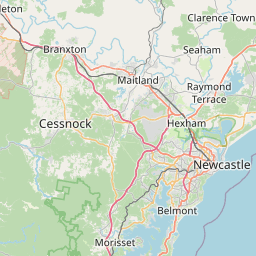
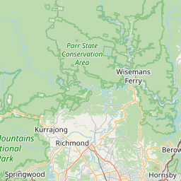
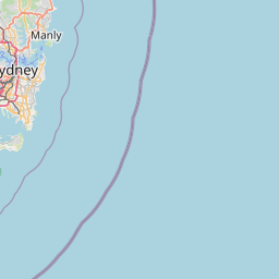
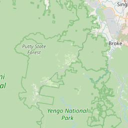
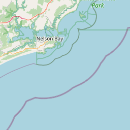
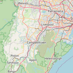
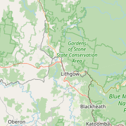
Distance Map Between Mosman and Newcastle
Mosman, Sydney, Australia ↔ Newcastle, Sydney, Australia = 70 miles = 113 km.


How far is it between Mosman and Newcastle
Mosman is located in Australia with (-33.839,151.2396) coordinates and Newcastle is located in Australia with (-32.9272,151.7765) coordinates. The calculated flying distance from Mosman to Newcastle is equal to 70 miles which is equal to 113 km.
If you want to go by car, the driving distance between Mosman and Newcastle is 160.07 km. If you ride your car with an average speed of 112 kilometers/hour (70 miles/h), travel time will be 01 hours 25 minutes. Please check the avg. speed travel time table on the right for various options.
Difference between fly and go by a car is 47 km.
| City/Place | Latitude and Longitude | GPS Coordinates |
|---|---|---|
| Mosman | -33.839, 151.2396 | 33° 50´ 20.4720'' S 151° 14´ 22.4160'' E |
| Newcastle | -32.9272, 151.7765 | 32° 55´ 37.7400'' S 151° 46´ 35.2920'' E |
Estimated Travel Time Between Mosman and Newcastle
| Average Speed | Travel Time |
|---|---|
| 30 mph (48 km/h) | 03 hours 20 minutes |
| 40 mph (64 km/h) | 02 hours 30 minutes |
| 50 mph (80 km/h) | 02 hours 00 minutes |
| 60 mph (97 km/h) | 01 hours 39 minutes |
| 70 mph (112 km/h) | 01 hours 25 minutes |
| 75 mph (120 km/h) | 01 hours 20 minutes |
Related Distances from Mosman
| Cities | Distance |
|---|---|
| Mosman to Newcastle 2 | 160 km |
| Mosman to Orange 2 | 256 km |
| Mosman to Tamworth 2 | 405 km |
| Mosman to Queanbeyan | 296 km |
| Mosman to Port Macquarie | 385 km |
Related Distances to Newcastle
| Cities | Distance |
|---|---|
| Coffs Harbour to Newcastle 2 | 390 km |
| Forster to Newcastle 2 | 165 km |
| Wollongong to Newcastle 2 | 267 km |
| Dubbo to Newcastle 2 | 380 km |
| Maitland to Newcastle 2 | 34 km |