Distance from Mpanda to Lubumbashi
Distance between Mpanda and Lubumbashi is 711 kilometers (442 miles).
Driving distance from Mpanda to Lubumbashi is 1163 kilometers (722 miles).
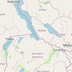
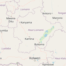
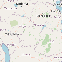
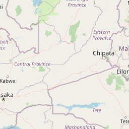
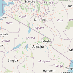
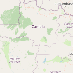
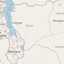
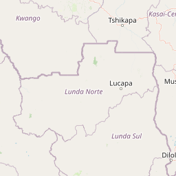
Distance Map Between Mpanda and Lubumbashi
Mpanda, Tanzania ↔ Lubumbashi, Democratic Republic of the Congo = 442 miles = 711 km.


How far is it between Mpanda and Lubumbashi
Mpanda is located in Tanzania with (-6.3438,31.0695) coordinates and Lubumbashi is located in Democratic Republic of the Congo with (-11.6609,27.4794) coordinates. The calculated flying distance from Mpanda to Lubumbashi is equal to 442 miles which is equal to 711 km.
If you want to go by car, the driving distance between Mpanda and Lubumbashi is 1162.67 km. If you ride your car with an average speed of 112 kilometers/hour (70 miles/h), travel time will be 10 hours 22 minutes. Please check the avg. speed travel time table on the right for various options.
Difference between fly and go by a car is 452 km.
| City/Place | Latitude and Longitude | GPS Coordinates |
|---|---|---|
| Mpanda | -6.3438, 31.0695 | 6° 20´ 37.6440'' S 31° 4´ 10.2360'' E |
| Lubumbashi | -11.6609, 27.4794 | 11° 39´ 39.2040'' S 27° 28´ 45.7680'' E |
Estimated Travel Time Between Mpanda and Lubumbashi
| Average Speed | Travel Time |
|---|---|
| 30 mph (48 km/h) | 24 hours 13 minutes |
| 40 mph (64 km/h) | 18 hours 10 minutes |
| 50 mph (80 km/h) | 14 hours 32 minutes |
| 60 mph (97 km/h) | 11 hours 59 minutes |
| 70 mph (112 km/h) | 10 hours 22 minutes |
| 75 mph (120 km/h) | 09 hours 41 minutes |
Related Distances from Mpanda
| Cities | Distance |
|---|---|
| Mpanda to Kinshasa | 2923 km |
| Mpanda to Kisangani | 1268 km |
| Mpanda to Lubumbashi | 1163 km |
| Mpanda to Mbuji Mayi | 1652 km |
Related Distances to Lubumbashi
| Cities | Distance |
|---|---|
| Dar Es Salaam to Lubumbashi | 2040 km |
| Tunduma to Lubumbashi | 1111 km |
| Mbeya to Lubumbashi | 1212 km |
| Sumbawanga to Lubumbashi | 924 km |
| Arusha to Lubumbashi | 1909 km |