Distance from Mukono to Bangui
Distance between Mukono and Bangui is 1639 kilometers (1018 miles).
Driving distance from Mukono to Bangui is 2638 kilometers (1639 miles).
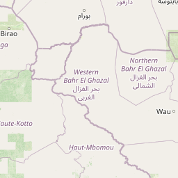
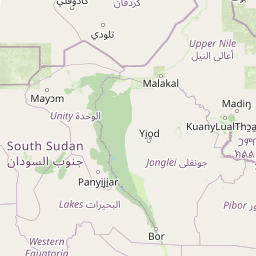
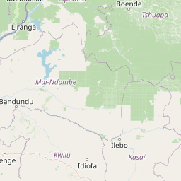
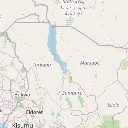
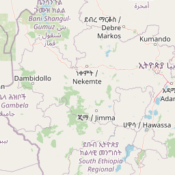
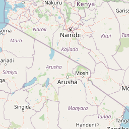
Distance Map Between Mukono and Bangui
Mukono, Kampala, Uganda ↔ Bangui, Central African Republic = 1018 miles = 1639 km.


How far is it between Mukono and Bangui
Mukono is located in Uganda with (0.3533,32.7553) coordinates and Bangui is located in Central African Republic with (4.3612,18.555) coordinates. The calculated flying distance from Mukono to Bangui is equal to 1018 miles which is equal to 1639 km.
If you want to go by car, the driving distance between Mukono and Bangui is 2637.82 km. If you ride your car with an average speed of 112 kilometers/hour (70 miles/h), travel time will be 23 hours 33 minutes. Please check the avg. speed travel time table on the right for various options.
Difference between fly and go by a car is 999 km.
| City/Place | Latitude and Longitude | GPS Coordinates |
|---|---|---|
| Mukono | 0.3533, 32.7553 | 0° 21´ 11.9880'' N 32° 45´ 19.0080'' E |
| Bangui | 4.3612, 18.555 | 4° 21´ 40.3920'' N 18° 33´ 17.8560'' E |
Estimated Travel Time Between Mukono and Bangui
| Average Speed | Travel Time |
|---|---|
| 30 mph (48 km/h) | 54 hours 57 minutes |
| 40 mph (64 km/h) | 41 hours 12 minutes |
| 50 mph (80 km/h) | 32 hours 58 minutes |
| 60 mph (97 km/h) | 27 hours 11 minutes |
| 70 mph (112 km/h) | 23 hours 33 minutes |
| 75 mph (120 km/h) | 21 hours 58 minutes |
Related Distances to Bangui
| Cities | Distance |
|---|---|
| Kampala to Bangui | 2568 km |
| Entebbe to Bangui | 2606 km |
| Soroti to Bangui | 2510 km |
| Iganga to Bangui | 2705 km |
| Masaka to Bangui | 2369 km |