Distance from Murrieta to Irvine
Distance between Murrieta and Irvine is 58 kilometers (36 miles).
Driving distance from Murrieta to Irvine is 97 kilometers (60 miles).
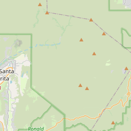
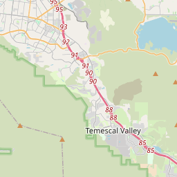
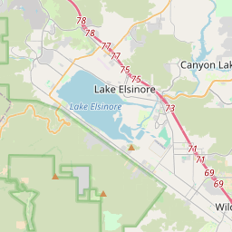
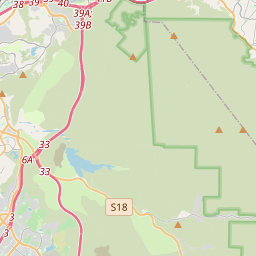
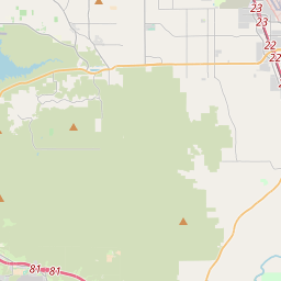
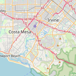
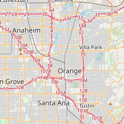
Distance Map Between Murrieta and Irvine
Murrieta, Sacramento, United States ↔ Irvine, Sacramento, United States = 36 miles = 58 km.


How far is it between Murrieta and Irvine
Murrieta is located in United States with (33.5539,-117.2139) coordinates and Irvine is located in United States with (33.6695,-117.8231) coordinates. The calculated flying distance from Murrieta to Irvine is equal to 36 miles which is equal to 58 km.
If you want to go by car, the driving distance between Murrieta and Irvine is 96.89 km. If you ride your car with an average speed of 112 kilometers/hour (70 miles/h), travel time will be 00 hours 51 minutes. Please check the avg. speed travel time table on the right for various options.
Difference between fly and go by a car is 39 km.
| City/Place | Latitude and Longitude | GPS Coordinates |
|---|---|---|
| Murrieta | 33.5539, -117.2139 | 33° 33´ 14.0760'' N 117° 12´ 50.1120'' W |
| Irvine | 33.6695, -117.8231 | 33° 40´ 10.0560'' N 117° 49´ 23.1960'' W |
Estimated Travel Time Between Murrieta and Irvine
| Average Speed | Travel Time |
|---|---|
| 30 mph (48 km/h) | 02 hours 01 minutes |
| 40 mph (64 km/h) | 01 hours 30 minutes |
| 50 mph (80 km/h) | 01 hours 12 minutes |
| 60 mph (97 km/h) | 00 hours 59 minutes |
| 70 mph (112 km/h) | 00 hours 51 minutes |
| 75 mph (120 km/h) | 00 hours 48 minutes |
Related Distances from Murrieta
| Cities | Distance |
|---|---|
| Murrieta to Hemet | 40 km |
| Murrieta to Menifee | 26 km |
| Murrieta to Moreno Valley | 55 km |
| Murrieta to Escondido | 58 km |
| Murrieta to Corona | 53 km |
Related Distances to Irvine
| Cities | Distance |
|---|---|
| Los Angeles to Irvine | 68 km |
| San Diego to Irvine | 140 km |
| Orange to Irvine | 19 km |
| Long Beach to Irvine | 50 km |
| Newport Beach to Irvine | 15 km |