Distance from Muscat to Kota
Distance between Muscat and Kota is 1754 kilometers (1090 miles).
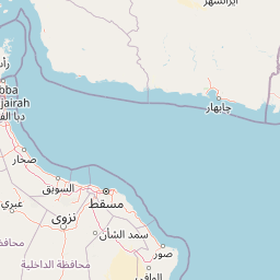
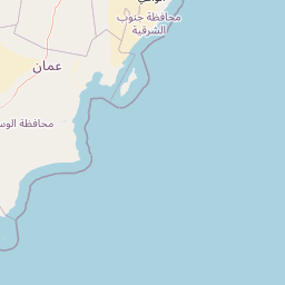
Distance Map Between Muscat and Kota
Muscat, Oman ↔ Kota, Jaipur, India = 1090 miles = 1754 km.


Leaflet | © OpenStreetMap
How far is it between Muscat and Kota
Muscat is located in Oman with (23.6139,58.5922) coordinates and Kota is located in India with (25.1825,75.8391) coordinates. The calculated flying distance from Muscat to Kota is equal to 1090 miles which is equal to 1754 km.
| City/Place | Latitude and Longitude | GPS Coordinates |
|---|---|---|
| Muscat | 23.6139, 58.5922 | 23° 36´ 49.9320'' N 58° 35´ 31.9200'' E |
| Kota | 25.1825, 75.8391 | 25° 10´ 57.1440'' N 75° 50´ 20.6520'' E |
Muscat, Oman
Related Distances from Muscat
| Cities | Distance |
|---|---|
| Muscat to Mumbai | 10135 km |
| Muscat to Delhi | 9352 km |
| Muscat to Hyderabad | 9955 km |
| Muscat to Cochin | 11207 km |
| Muscat to Bangalore | 10590 km |
Kota, Jaipur, India
Related Distances to Kota
| Cities | Distance |
|---|---|
| Anta to Kota | 52 km |
| Kekri to Kota | 129 km |
| Keshorai Patan to Kota | 22 km |
| Begun to Kota | 120 km |
| Kapren to Kota | 41 km |