Distance from Muskegon to Brampton
Distance between Muskegon and Brampton is 525 kilometers (326 miles).
Driving distance from Muskegon to Brampton is 620 kilometers (385 miles).
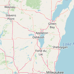
Distance Map Between Muskegon and Brampton
Muskegon, Lansing, United States ↔ Brampton, Ontario, Canada = 326 miles = 525 km.


How far is it between Muskegon and Brampton
Muskegon is located in United States with (43.2342,-86.2484) coordinates and Brampton is located in Canada with (43.6834,-79.7663) coordinates. The calculated flying distance from Muskegon to Brampton is equal to 326 miles which is equal to 525 km.
If you want to go by car, the driving distance between Muskegon and Brampton is 619.53 km. If you ride your car with an average speed of 112 kilometers/hour (70 miles/h), travel time will be 05 hours 31 minutes. Please check the avg. speed travel time table on the right for various options.
Difference between fly and go by a car is 95 km.
| City/Place | Latitude and Longitude | GPS Coordinates |
|---|---|---|
| Muskegon | 43.2342, -86.2484 | 43° 14´ 3.0480'' N 86° 14´ 54.2040'' W |
| Brampton | 43.6834, -79.7663 | 43° 41´ 0.2760'' N 79° 45´ 58.7880'' W |
Estimated Travel Time Between Muskegon and Brampton
| Average Speed | Travel Time |
|---|---|
| 30 mph (48 km/h) | 12 hours 54 minutes |
| 40 mph (64 km/h) | 09 hours 40 minutes |
| 50 mph (80 km/h) | 07 hours 44 minutes |
| 60 mph (97 km/h) | 06 hours 23 minutes |
| 70 mph (112 km/h) | 05 hours 31 minutes |
| 75 mph (120 km/h) | 05 hours 09 minutes |
Related Distances from Muskegon
| Cities | Distance |
|---|---|
| Muskegon to Toronto | 643 km |
| Muskegon to Quebec | 1436 km |
| Muskegon to Hamilton | 582 km |
| Muskegon to Montreal | 1175 km |
| Muskegon to Ottawa | 1080 km |
Related Distances to Brampton
| Cities | Distance |
|---|---|
| New York City to Brampton | 784 km |
| Sudbury to Brampton | 855 km |
| Gaithersburg to Brampton | 728 km |
| Concord 3 to Brampton | 846 km |
| Aurora 4 to Brampton | 480 km |