Distance from Muskegon to Hamtramck
Distance between Muskegon and Hamtramck is 277 kilometers (172 miles).
Driving distance from Muskegon to Hamtramck is 316 kilometers (196 miles).
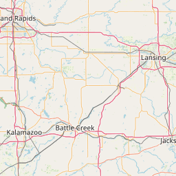
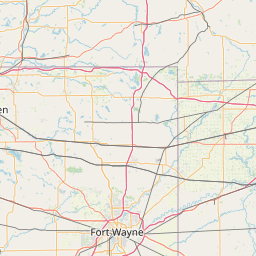
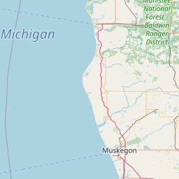
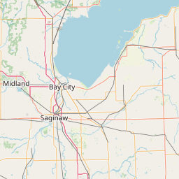
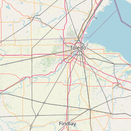
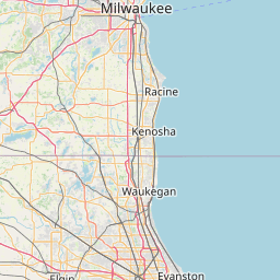
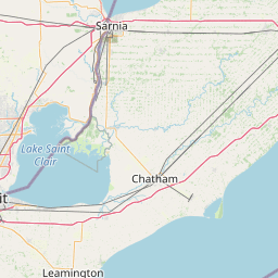
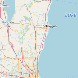
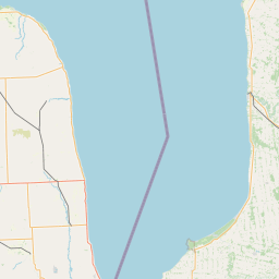
Distance Map Between Muskegon and Hamtramck
Muskegon, Lansing, United States ↔ Hamtramck, Lansing, United States = 172 miles = 277 km.


How far is it between Muskegon and Hamtramck
Muskegon is located in United States with (43.2342,-86.2484) coordinates and Hamtramck is located in United States with (42.3928,-83.0496) coordinates. The calculated flying distance from Muskegon to Hamtramck is equal to 172 miles which is equal to 277 km.
If you want to go by car, the driving distance between Muskegon and Hamtramck is 315.57 km. If you ride your car with an average speed of 112 kilometers/hour (70 miles/h), travel time will be 02 hours 49 minutes. Please check the avg. speed travel time table on the right for various options.
Difference between fly and go by a car is 39 km.
| City/Place | Latitude and Longitude | GPS Coordinates |
|---|---|---|
| Muskegon | 43.2342, -86.2484 | 43° 14´ 3.0480'' N 86° 14´ 54.2040'' W |
| Hamtramck | 42.3928, -83.0496 | 42° 23´ 34.1520'' N 83° 2´ 58.7040'' W |
Estimated Travel Time Between Muskegon and Hamtramck
| Average Speed | Travel Time |
|---|---|
| 30 mph (48 km/h) | 06 hours 34 minutes |
| 40 mph (64 km/h) | 04 hours 55 minutes |
| 50 mph (80 km/h) | 03 hours 56 minutes |
| 60 mph (97 km/h) | 03 hours 15 minutes |
| 70 mph (112 km/h) | 02 hours 49 minutes |
| 75 mph (120 km/h) | 02 hours 37 minutes |
Related Distances from Muskegon
| Cities | Distance |
|---|---|
| Muskegon to Grand Rapids | 68 km |
| Muskegon to Holland | 56 km |
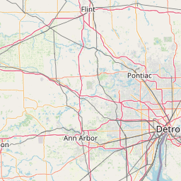
| Muskegon to Detroit | 317 km |
| Muskegon to Allendale | 47 km |
| Muskegon to Kalamazoo | 147 km |
Related Distances to Hamtramck
| Cities | Distance |
|---|---|
| Lincoln Park to Hamtramck | 25 km |
| Novi to Hamtramck | 44 km |
| Warren to Hamtramck | 12 km |
| Sterling Heights to Hamtramck | 31 km |
| Mount Clemens to Hamtramck | 37 km |