Distance from Nabunturan to Samal
Distance between Nabunturan and Samal is 66 kilometers (41 miles).
Driving distance from Nabunturan to Samal is 88 kilometers (55 miles).
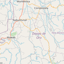
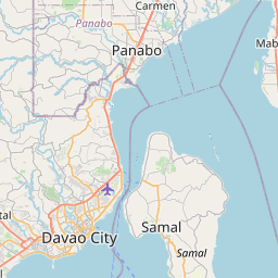
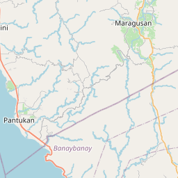
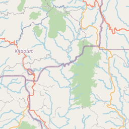
Distance Map Between Nabunturan and Samal
Nabunturan, Davao, Philippines ↔ Samal, Davao, Philippines = 41 miles = 66 km.

How far is it between Nabunturan and Samal
Nabunturan is located in Philippines with (7.6078,125.9664) coordinates and Samal is located in Philippines with (7.0744,125.7083) coordinates. The calculated flying distance from Nabunturan to Samal is equal to 41 miles which is equal to 66 km.
If you want to go by car, the driving distance between Nabunturan and Samal is 88.14 km. If you ride your car with an average speed of 112 kilometers/hour (70 miles/h), travel time will be 00 hours 47 minutes. Please check the avg. speed travel time table on the right for various options.
Difference between fly and go by a car is 22 km.
| City/Place | Latitude and Longitude | GPS Coordinates |
|---|---|---|
| Nabunturan | 7.6078, 125.9664 | 7° 36´ 28.0080'' N 125° 57´ 59.0040'' E |
| Samal | 7.0744, 125.7083 | 7° 4´ 27.9840'' N 125° 42´ 29.9880'' E |
Estimated Travel Time Between Nabunturan and Samal
| Average Speed | Travel Time |
|---|---|
| 30 mph (48 km/h) | 01 hours 50 minutes |
| 40 mph (64 km/h) | 01 hours 22 minutes |
| 50 mph (80 km/h) | 01 hours 06 minutes |
| 60 mph (97 km/h) | 00 hours 54 minutes |
| 70 mph (112 km/h) | 00 hours 47 minutes |
| 75 mph (120 km/h) | 00 hours 44 minutes |
Related Distances from Nabunturan
| Cities | Distance |
|---|---|
| Nabunturan to Tagum | 32 km |
| Nabunturan to Panabo | 57 km |
| Nabunturan to New Corella | 42 km |
| Nabunturan to Samal | 88 km |
| Nabunturan to Polomolok | 242 km |
Related Distances to Samal
| Cities | Distance |
|---|---|
| Balanga to Samal 2 | 11 km |
| Orani to Samal 2 | 4 km |
| Mati to Samal | 157 km |
| Panabo to Samal | 33 km |
| Tagum to Samal | 56 km |