Distance from Nagcarlan to Ternate
Distance between Nagcarlan and Ternate is 77 kilometers (48 miles).
Driving distance from Nagcarlan to Ternate is 107 kilometers (67 miles).
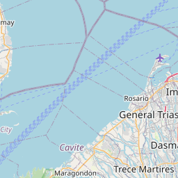
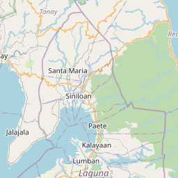
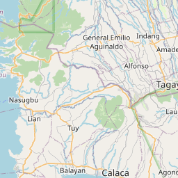
Distance Map Between Nagcarlan and Ternate
Nagcarlan, Calamba, Philippines ↔ Ternate, Calamba, Philippines = 48 miles = 77 km.


How far is it between Nagcarlan and Ternate
Nagcarlan is located in Philippines with (14.1364,121.4165) coordinates and Ternate is located in Philippines with (14.2897,120.7168) coordinates. The calculated flying distance from Nagcarlan to Ternate is equal to 48 miles which is equal to 77 km.
If you want to go by car, the driving distance between Nagcarlan and Ternate is 107.46 km. If you ride your car with an average speed of 112 kilometers/hour (70 miles/h), travel time will be 00 hours 57 minutes. Please check the avg. speed travel time table on the right for various options.
Difference between fly and go by a car is 30 km.
| City/Place | Latitude and Longitude | GPS Coordinates |
|---|---|---|
| Nagcarlan | 14.1364, 121.4165 | 14° 8´ 11.0400'' N 121° 24´ 59.4000'' E |
| Ternate | 14.2897, 120.7168 | 14° 17´ 22.9200'' N 120° 43´ 0.4800'' E |
Estimated Travel Time Between Nagcarlan and Ternate
| Average Speed | Travel Time |
|---|---|
| 30 mph (48 km/h) | 02 hours 14 minutes |
| 40 mph (64 km/h) | 01 hours 40 minutes |
| 50 mph (80 km/h) | 01 hours 20 minutes |
| 60 mph (97 km/h) | 01 hours 06 minutes |
| 70 mph (112 km/h) | 00 hours 57 minutes |
| 75 mph (120 km/h) | 00 hours 53 minutes |
Related Distances from Nagcarlan
| Cities | Distance |
|---|---|
| Nagcarlan to San Pablo | 16 km |
| Nagcarlan to Santa Cruz | 19 km |
| Nagcarlan to Taguig | 86 km |
| Nagcarlan to Santa Rosa | 59 km |
| Nagcarlan to Tayabas | 33 km |
Related Distances to Ternate
| Cities | Distance |
|---|---|
| Cavite City to Ternate 2 | 35 km |
| Dasmarinas to Ternate 2 | 33 km |
| Naic to Ternate 2 | 7 km |
| General Trias to Ternate 2 | 26 km |
| Imus to Ternate 2 | 34 km |