Distance from Naldurg to Solapur
Distance between Naldurg and Solapur is 43 kilometers (26 miles).
Driving distance from Naldurg to Solapur is 45 kilometers (28 miles).
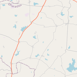
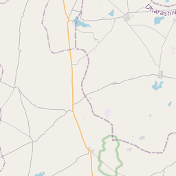
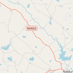
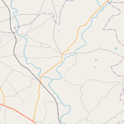
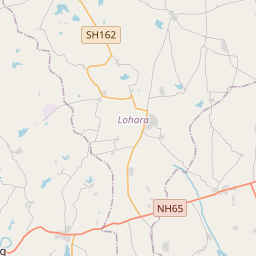
Distance Map Between Naldurg and Solapur
Naldurg, Mumbai, India ↔ Solapur, Mumbai, India = 26 miles = 43 km.


How far is it between Naldurg and Solāpur
Naldurg is located in India with (17.8167,76.2818) coordinates and Solapur is located in India with (17.6715,75.9104) coordinates. The calculated flying distance from Naldurg to Solapur is equal to 26 miles which is equal to 43 km.
If you want to go by car, the driving distance between Naldurg and Solapur is 45.32 km. If you ride your car with an average speed of 112 kilometers/hour (70 miles/h), travel time will be 00 hours 24 minutes. Please check the avg. speed travel time table on the right for various options.
Difference between fly and go by a car is 2 km.
| City/Place | Latitude and Longitude | GPS Coordinates |
|---|---|---|
| Naldurg | 17.8167, 76.2818 | 17° 49´ 0.0120'' N 76° 16´ 54.5520'' E |
| Solapur | 17.6715, 75.9104 | 17° 40´ 17.4720'' N 75° 54´ 37.5840'' E |
Estimated Travel Time Between Naldurg and Solāpur
| Average Speed | Travel Time |
|---|---|
| 30 mph (48 km/h) | 00 hours 56 minutes |
| 40 mph (64 km/h) | 00 hours 42 minutes |
| 50 mph (80 km/h) | 00 hours 33 minutes |
| 60 mph (97 km/h) | 00 hours 28 minutes |
| 70 mph (112 km/h) | 00 hours 24 minutes |
| 75 mph (120 km/h) | 00 hours 22 minutes |
Related Distances from Naldurg
| Cities | Distance |
|---|---|
| Naldurg to Solapur | 45 km |
| Naldurg to Osmanabad | 55 km |
| Naldurg to Pandharpur | 115 km |
| Naldurg to Nanded | 227 km |
| Naldurg to Satara | 265 km |
Related Distances to Solapur
| Cities | Distance |
|---|---|
| Indapur to Solapur | 374 km |
| Karmala to Solapur | 134 km |
| Naldurg to Solapur | 45 km |
| Pune to Solapur | 252 km |
| Sangola to Solapur | 86 km |