Distance from Nalut to Benghazi
Distance between Nalut and Benghazi is 857 kilometers (533 miles).
Driving distance from Nalut to Benghazi is 1260 kilometers (783 miles).
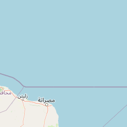
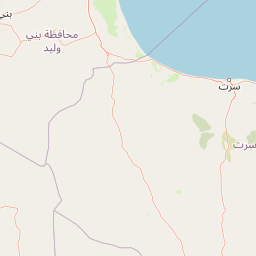
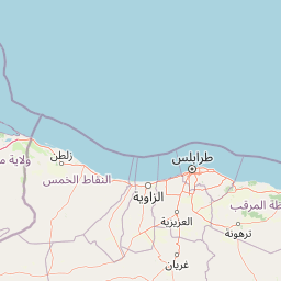
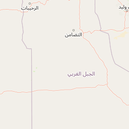
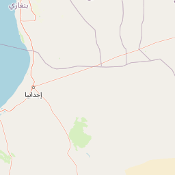
Distance Map Between Nalut and Benghazi
Nalut, Libya ↔ Benghazi, Libya = 533 miles = 857 km.


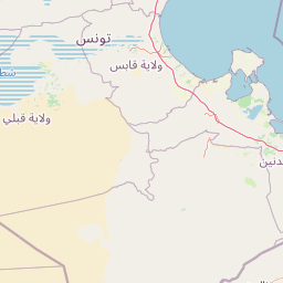
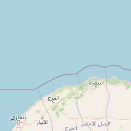
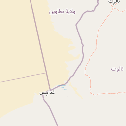

How far is it between Nālūt and Benghazi
Nalut is located in Libya with (31.8685,10.9812) coordinates and Benghazi is located in Libya with (32.1149,20.0686) coordinates. The calculated flying distance from Nalut to Benghazi is equal to 533 miles which is equal to 857 km.
If you want to go by car, the driving distance between Nalut and Benghazi is 1259.52 km. If you ride your car with an average speed of 112 kilometers/hour (70 miles/h), travel time will be 11 hours 14 minutes. Please check the avg. speed travel time table on the right for various options.
Difference between fly and go by a car is 403 km.
| City/Place | Latitude and Longitude | GPS Coordinates |
|---|---|---|
| Nalut | 31.8685, 10.9812 | 31° 52´ 6.5280'' N 10° 58´ 52.3200'' E |
| Benghazi | 32.1149, 20.0686 | 32° 6´ 53.4960'' N 20° 4´ 6.9240'' E |
Estimated Travel Time Between Nālūt and Benghazi
| Average Speed | Travel Time |
|---|---|
| 30 mph (48 km/h) | 26 hours 14 minutes |
| 40 mph (64 km/h) | 19 hours 40 minutes |
| 50 mph (80 km/h) | 15 hours 44 minutes |
| 60 mph (97 km/h) | 12 hours 59 minutes |
| 70 mph (112 km/h) | 11 hours 14 minutes |
| 75 mph (120 km/h) | 10 hours 29 minutes |
Related Distances from Nalut
| Cities | Distance |
|---|---|
| Nalut to Tripoli | 270 km |
| Nalut to Al Marj | 1351 km |
| Nalut to Suluq | 1208 km |
| Nalut to Benghazi | 1260 km |
| Nalut to Al Bayda | 1438 km |
Related Distances to Benghazi
| Cities | Distance |
|---|---|
| Tripoli to Benghazi | 998 km |
| Tobruk to Benghazi | 462 km |
| Sirte to Benghazi | 570 km |
| Ajdabiya to Benghazi | 162 km |
| Sabha to Benghazi | 1159 km |