Distance from Nalut to Sabha
Distance between Nalut and Sabha is 632 kilometers (393 miles).
Driving distance from Nalut to Sabha is 882 kilometers (548 miles).
Distance Map Between Nalut and Sabha
Nalut, Libya ↔ Sabha, Libya = 393 miles = 632 km.


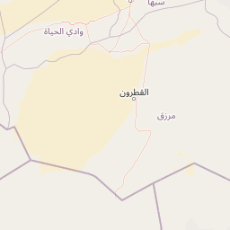


Leaflet | © OpenStreetMap
How far is it between Nālūt and Sabhā
Nalut is located in Libya with (31.8685,10.9812) coordinates and Sabha is located in Libya with (27.0377,14.4283) coordinates. The calculated flying distance from Nalut to Sabha is equal to 393 miles which is equal to 632 km.
If you want to go by car, the driving distance between Nalut and Sabha is 881.56 km. If you ride your car with an average speed of 112 kilometers/hour (70 miles/h), travel time will be 07 hours 52 minutes. Please check the avg. speed travel time table on the right for various options.
Difference between fly and go by a car is 250 km.
| City/Place | Latitude and Longitude | GPS Coordinates |
|---|---|---|
| Nalut | 31.8685, 10.9812 | 31° 52´ 6.5280'' N 10° 58´ 52.3200'' E |
| Sabha | 27.0377, 14.4283 | 27° 2´ 15.5760'' N 14° 25´ 41.9520'' E |
Estimated Travel Time Between Nālūt and Sabhā
| Average Speed | Travel Time |
|---|---|
| 30 mph (48 km/h) | 18 hours 21 minutes |
| 40 mph (64 km/h) | 13 hours 46 minutes |
| 50 mph (80 km/h) | 11 hours 01 minutes |
| 60 mph (97 km/h) | 09 hours 05 minutes |
| 70 mph (112 km/h) | 07 hours 52 minutes |
| 75 mph (120 km/h) | 07 hours 20 minutes |
Nalut, Libya
Related Distances from Nalut
| Cities | Distance |
|---|---|
| Nalut to Tripoli | 270 km |
| Nalut to Al Marj | 1351 km |
| Nalut to Suluq | 1208 km |
| Nalut to Benghazi | 1260 km |
| Nalut to Al Bayda | 1438 km |
Sabha, Libya
Related Distances to Sabha
| Cities | Distance |
|---|---|
| Ghat to Sabha | 569 km |
| Al Khums to Sabha | 826 km |
| Murzuq to Sabha | 143 km |
| Brak to Sabha | 82 km |
| Hun to Sabha | 347 km |