Distance from Nashua to Keene
Distance between Nashua and Keene is 69 kilometers (43 miles).
Driving distance from Nashua to Keene is 78 kilometers (49 miles).
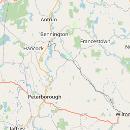
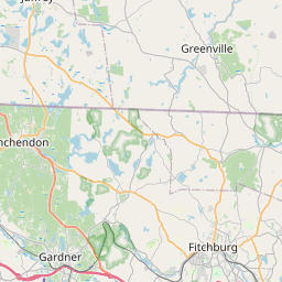
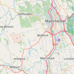
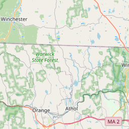
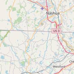
Distance Map Between Nashua and Keene
Nashua, Concord, United States ↔ Keene, Concord, United States = 43 miles = 69 km.


How far is it between Nashua and Keene
Nashua is located in United States with (42.7654,-71.4676) coordinates and Keene is located in United States with (42.9337,-72.2781) coordinates. The calculated flying distance from Nashua to Keene is equal to 43 miles which is equal to 69 km.
If you want to go by car, the driving distance between Nashua and Keene is 78.31 km. If you ride your car with an average speed of 112 kilometers/hour (70 miles/h), travel time will be 00 hours 41 minutes. Please check the avg. speed travel time table on the right for various options.
Difference between fly and go by a car is 9 km.
| City/Place | Latitude and Longitude | GPS Coordinates |
|---|---|---|
| Nashua | 42.7654, -71.4676 | 42° 45´ 55.3320'' N 71° 28´ 3.2520'' W |
| Keene | 42.9337, -72.2781 | 42° 56´ 1.2840'' N 72° 16´ 41.3040'' W |
Estimated Travel Time Between Nashua and Keene
| Average Speed | Travel Time |
|---|---|
| 30 mph (48 km/h) | 01 hours 37 minutes |
| 40 mph (64 km/h) | 01 hours 13 minutes |
| 50 mph (80 km/h) | 00 hours 58 minutes |
| 60 mph (97 km/h) | 00 hours 48 minutes |
| 70 mph (112 km/h) | 00 hours 41 minutes |
| 75 mph (120 km/h) | 00 hours 39 minutes |
Related Distances from Nashua
| Cities | Distance |
|---|---|
| Nashua to Manchester 2 | 32 km |
| Nashua to Derry 2 | 20 km |
| Nashua to Laconia | 98 km |
| Nashua to Merrimack | 12 km |
| Nashua to Keene | 78 km |
Related Distances to Keene
| Cities | Distance |
|---|---|
| Nashua to Keene | 78 km |
| Portsmouth 3 to Keene | 172 km |
| Merrimack to Keene | 81 km |
| Manchester 2 to Keene | 106 km |
| Salem 4 to Keene | 140 km |