Distance from Neath to Brussels
Distance between Neath and Brussels is 574 kilometers (357 miles).
Driving distance from Neath to Brussels is 672 kilometers (418 miles).
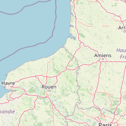
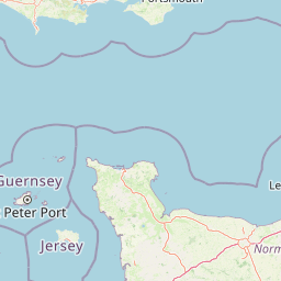
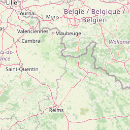
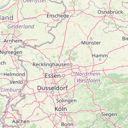
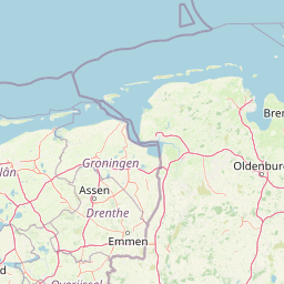
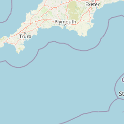
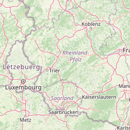
Distance Map Between Neath and Brussels
Neath, Cardiff, United Kingdom ↔ Brussels, Belgium = 357 miles = 574 km.


How far is it between Neath and Brussels
Neath is located in United Kingdom with (51.6632,-3.8044) coordinates and Brussels is located in Belgium with (50.8505,4.3488) coordinates. The calculated flying distance from Neath to Brussels is equal to 357 miles which is equal to 574 km.
If you want to go by car, the driving distance between Neath and Brussels is 672.41 km. If you ride your car with an average speed of 112 kilometers/hour (70 miles/h), travel time will be 06 hours 00 minutes. Please check the avg. speed travel time table on the right for various options.
Difference between fly and go by a car is 98 km.
| City/Place | Latitude and Longitude | GPS Coordinates |
|---|---|---|
| Neath | 51.6632, -3.8044 | 51° 39´ 47.4120'' N 3° 48´ 15.9480'' W |
| Brussels | 50.8505, 4.3488 | 50° 51´ 1.6200'' N 4° 20´ 55.6080'' E |
Estimated Travel Time Between Neath and Brussels
| Average Speed | Travel Time |
|---|---|
| 30 mph (48 km/h) | 14 hours 00 minutes |
| 40 mph (64 km/h) | 10 hours 30 minutes |
| 50 mph (80 km/h) | 08 hours 24 minutes |
| 60 mph (97 km/h) | 06 hours 55 minutes |
| 70 mph (112 km/h) | 06 hours 00 minutes |
| 75 mph (120 km/h) | 05 hours 36 minutes |
Related Distances to Brussels
| Cities | Distance |
|---|---|
| London to Brussels | 379 km |
| Edinburgh to Brussels | 999 km |
| Manchester to Brussels | 714 km |
| Birmingham to Brussels | 585 km |
| Glasgow to Brussels | 1000 km |