Distance from Newburgh to Melville
Distance between Newburgh and Melville is 93 kilometers (58 miles).
Driving distance from Newburgh to Melville is 144 kilometers (89 miles).
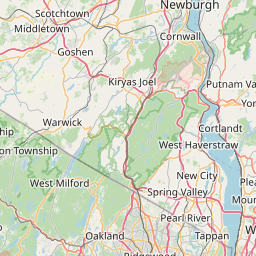
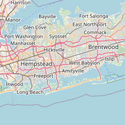
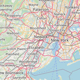
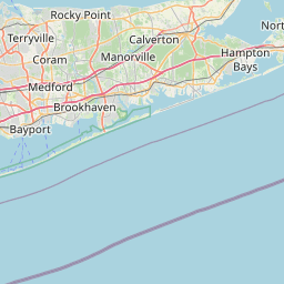
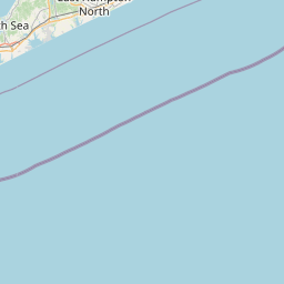
Distance Map Between Newburgh and Melville
Newburgh, Albany, United States ↔ Melville, Albany, United States = 58 miles = 93 km.


How far is it between Newburgh and Melville
Newburgh is located in United States with (41.5034,-74.0104) coordinates and Melville is located in United States with (40.7934,-73.4151) coordinates. The calculated flying distance from Newburgh to Melville is equal to 58 miles which is equal to 93 km.
If you want to go by car, the driving distance between Newburgh and Melville is 144.01 km. If you ride your car with an average speed of 112 kilometers/hour (70 miles/h), travel time will be 01 hours 17 minutes. Please check the avg. speed travel time table on the right for various options.
Difference between fly and go by a car is 51 km.
| City/Place | Latitude and Longitude | GPS Coordinates |
|---|---|---|
| Newburgh | 41.5034, -74.0104 | 41° 30´ 12.3480'' N 74° 0´ 37.5120'' W |
| Melville | 40.7934, -73.4151 | 40° 47´ 36.3480'' N 73° 24´ 54.4320'' W |
Estimated Travel Time Between Newburgh and Melville
| Average Speed | Travel Time |
|---|---|
| 30 mph (48 km/h) | 03 hours 00 minutes |
| 40 mph (64 km/h) | 02 hours 15 minutes |
| 50 mph (80 km/h) | 01 hours 48 minutes |
| 60 mph (97 km/h) | 01 hours 29 minutes |
| 70 mph (112 km/h) | 01 hours 17 minutes |
| 75 mph (120 km/h) | 01 hours 12 minutes |
Related Distances from Newburgh
| Cities | Distance |
|---|---|
| Newburgh to New York City | 107 km |
| Newburgh to Kingston 3 | 63 km |
| Newburgh to New City | 54 km |
| Newburgh to Manhattan | 99 km |
| Newburgh to Binghamton | 227 km |
Related Distances to Melville
| Cities | Distance |
|---|---|
| New York City to Melville | 60 km |
| Merrick to Melville | 28 km |
| Smithtown to Melville | 24 km |
| West Babylon to Melville | 10 km |
| Plainview to Melville | 6 km |