Distance from Ngawi to Kertosono
Distance between Ngawi and Kertosono is 75 kilometers (46 miles).
Driving distance from Ngawi to Kertosono is 86 kilometers (53 miles).
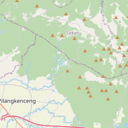
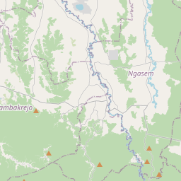
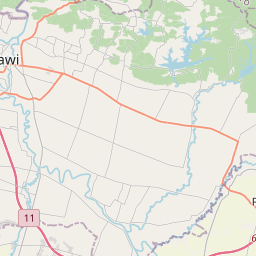
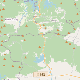
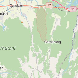
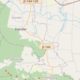
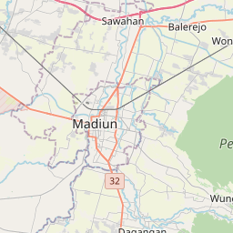
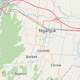
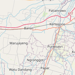
Distance Map Between Ngawi and Kertosono
Ngawi, Bandung, Indonesia ↔ Kertosono, Surabaya, Indonesia = 46 miles = 75 km.

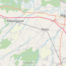

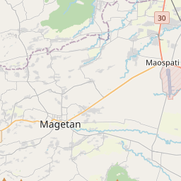

How far is it between Ngawi and Kertosono
Ngawi is located in Indonesia with (-7.4038,111.4461) coordinates and Kertosono is located in Indonesia with (-7.5833,112.1) coordinates. The calculated flying distance from Ngawi to Kertosono is equal to 46 miles which is equal to 75 km.
If you want to go by car, the driving distance between Ngawi and Kertosono is 85.82 km. If you ride your car with an average speed of 112 kilometers/hour (70 miles/h), travel time will be 00 hours 45 minutes. Please check the avg. speed travel time table on the right for various options.
Difference between fly and go by a car is 11 km.
| City/Place | Latitude and Longitude | GPS Coordinates |
|---|---|---|
| Ngawi | -7.4038, 111.4461 | 7° 24´ 13.6800'' S 111° 26´ 45.9600'' E |
| Kertosono | -7.5833, 112.1 | 7° 34´ 59.9880'' S 112° 5´ 60.0000'' E |
Estimated Travel Time Between Ngawi and Kertosono
| Average Speed | Travel Time |
|---|---|
| 30 mph (48 km/h) | 01 hours 47 minutes |
| 40 mph (64 km/h) | 01 hours 20 minutes |
| 50 mph (80 km/h) | 01 hours 04 minutes |
| 60 mph (97 km/h) | 00 hours 53 minutes |
| 70 mph (112 km/h) | 00 hours 45 minutes |
| 75 mph (120 km/h) | 00 hours 42 minutes |
Related Distances from Ngawi
| Cities | Distance |
|---|---|
| Ngawi to Weru | 417 km |
| Ngawi to Purwakarta | 563 km |
| Ngawi to Nganjuk | 63 km |
| Ngawi to Kertosono | 86 km |
| Ngawi to Pelabuhanratu | 722 km |
Related Distances to Kertosono
| Cities | Distance |
|---|---|
| Bojonegoro to Kertosono | 82 km |
| Gresik to Kertosono | 108 km |
| Kediri to Kertosono | 32 km |
| Batu to Kertosono | 83 km |
| Jombang to Kertosono | 21 km |