Distance from Ngunut to Pare
Distance between Ngunut and Pare is 43 kilometers (26 miles).
Driving distance from Ngunut to Pare is 68 kilometers (42 miles).
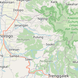
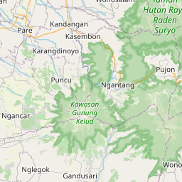
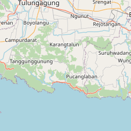
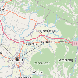
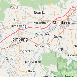
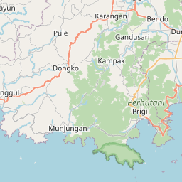
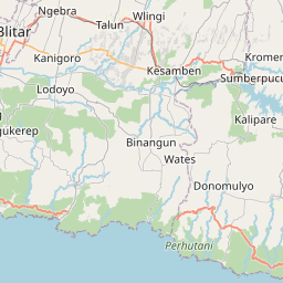
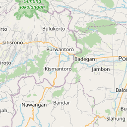
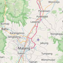
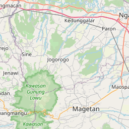
Distance Map Between Ngunut and Pare
Ngunut, Surabaya, Indonesia ↔ Pare, Surabaya, Indonesia = 26 miles = 43 km.
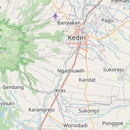
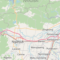

How far is it between Ngunut and Pare
Ngunut is located in Indonesia with (-8.1058,112.0159) coordinates and Pare is located in Indonesia with (-7.7679,112.198) coordinates. The calculated flying distance from Ngunut to Pare is equal to 26 miles which is equal to 43 km.
If you want to go by car, the driving distance between Ngunut and Pare is 68.07 km. If you ride your car with an average speed of 112 kilometers/hour (70 miles/h), travel time will be 00 hours 36 minutes. Please check the avg. speed travel time table on the right for various options.
Difference between fly and go by a car is 25 km.
| City/Place | Latitude and Longitude | GPS Coordinates |
|---|---|---|
| Ngunut | -8.1058, 112.0159 | 8° 6´ 20.8800'' S 112° 0´ 57.2760'' E |
| Pare | -7.7679, 112.198 | 7° 46´ 4.4400'' S 112° 11´ 52.8000'' E |
Estimated Travel Time Between Ngunut and Pare
| Average Speed | Travel Time |
|---|---|
| 30 mph (48 km/h) | 01 hours 25 minutes |
| 40 mph (64 km/h) | 01 hours 03 minutes |
| 50 mph (80 km/h) | 00 hours 51 minutes |
| 60 mph (97 km/h) | 00 hours 42 minutes |
| 70 mph (112 km/h) | 00 hours 36 minutes |
| 75 mph (120 km/h) | 00 hours 34 minutes |
Related Distances from Ngunut
| Cities | Distance |
|---|---|
| Ngunut to Trenggalek | 42 km |
| Ngunut to Ponorogo | 83 km |
| Ngunut to Singosari | 103 km |
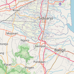
| Ngunut to Sidoarjo | 158 km |
| Ngunut to Tulungagung | 14 km |
Related Distances to Pare
| Cities | Distance |
|---|---|
| Kertosono to Pare | 29 km |
| Malang to Pare | 78 km |
| Mojokerto to Pare | 51 km |
| Blitar to Pare | 45 km |
| Pandaan to Pare | 90 km |