Distance from Nivelles to Wavre
Distance between Nivelles and Wavre is 23 kilometers (15 miles).
Driving distance from Nivelles to Wavre is 36 kilometers (22 miles).
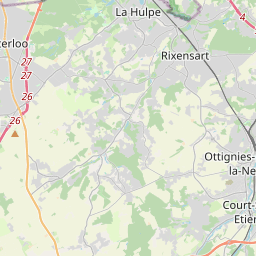
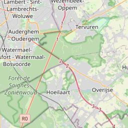
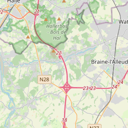
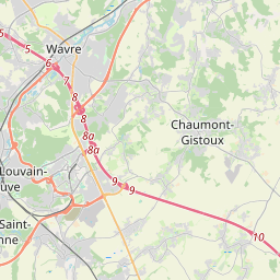
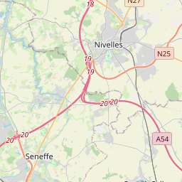
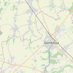
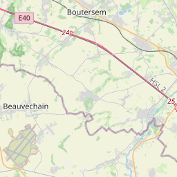
Distance Map Between Nivelles and Wavre
Nivelles, Namur, Belgium ↔ Wavre, Namur, Belgium = 15 miles = 23 km.

How far is it between Nivelles and Wavre
Nivelles is located in Belgium with (50.5983,4.3285) coordinates and Wavre is located in Belgium with (50.7172,4.6014) coordinates. The calculated flying distance from Nivelles to Wavre is equal to 15 miles which is equal to 23 km.
If you want to go by car, the driving distance between Nivelles and Wavre is 36.21 km. If you ride your car with an average speed of 112 kilometers/hour (70 miles/h), travel time will be 00 hours 19 minutes. Please check the avg. speed travel time table on the right for various options.
Difference between fly and go by a car is 13 km.
| City/Place | Latitude and Longitude | GPS Coordinates |
|---|---|---|
| Nivelles | 50.5983, 4.3285 | 50° 35´ 53.9880'' N 4° 19´ 42.5280'' E |
| Wavre | 50.7172, 4.6014 | 50° 43´ 1.8120'' N 4° 36´ 4.9680'' E |
Estimated Travel Time Between Nivelles and Wavre
| Average Speed | Travel Time |
|---|---|
| 30 mph (48 km/h) | 00 hours 45 minutes |
| 40 mph (64 km/h) | 00 hours 33 minutes |
| 50 mph (80 km/h) | 00 hours 27 minutes |
| 60 mph (97 km/h) | 00 hours 22 minutes |
| 70 mph (112 km/h) | 00 hours 19 minutes |
| 75 mph (120 km/h) | 00 hours 18 minutes |
Related Distances from Nivelles
| Cities | Distance |
|---|---|
| Nivelles to Wavre | 36 km |
| Nivelles to Waterloo 3 | 15 km |
| Nivelles to Tournai | 83 km |
| Nivelles to Verviers | 136 km |
| Nivelles to Peruwelz | 64 km |
Related Distances to Wavre
| Cities | Distance |
|---|---|
| Nivelles to Wavre | 36 km |
| Rixensart to Wavre | 7 km |
| Mons to Wavre | 73 km |
| Charleroi to Wavre | 58 km |
| Liege to Wavre | 86 km |