Distance from Noginsk to Shatura
Distance between Noginsk and Shatura is 76 kilometers (47 miles).
Driving distance from Noginsk to Shatura is 99 kilometers (61 miles).
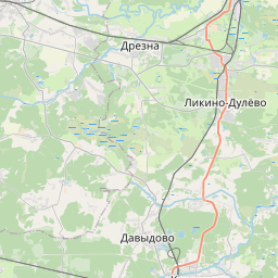
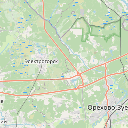
Distance Map Between Noginsk and Shatura
Noginsk, Vostochnoe Degunino, Russia ↔ Shatura, Vostochnoe Degunino, Russia = 47 miles = 76 km.


How far is it between Noginsk and Shatura
Noginsk is located in Russia with (55.8665,38.4438) coordinates and Shatura is located in Russia with (55.5725,39.5368) coordinates. The calculated flying distance from Noginsk to Shatura is equal to 47 miles which is equal to 76 km.
If you want to go by car, the driving distance between Noginsk and Shatura is 98.96 km. If you ride your car with an average speed of 112 kilometers/hour (70 miles/h), travel time will be 00 hours 53 minutes. Please check the avg. speed travel time table on the right for various options.
Difference between fly and go by a car is 23 km.
| City/Place | Latitude and Longitude | GPS Coordinates |
|---|---|---|
| Noginsk | 55.8665, 38.4438 | 55° 51´ 59.2920'' N 38° 26´ 37.6800'' E |
| Shatura | 55.5725, 39.5368 | 55° 34´ 21.1080'' N 39° 32´ 12.5520'' E |
Estimated Travel Time Between Noginsk and Shatura
| Average Speed | Travel Time |
|---|---|
| 30 mph (48 km/h) | 02 hours 03 minutes |
| 40 mph (64 km/h) | 01 hours 32 minutes |
| 50 mph (80 km/h) | 01 hours 14 minutes |
| 60 mph (97 km/h) | 01 hours 01 minutes |
| 70 mph (112 km/h) | 00 hours 53 minutes |
| 75 mph (120 km/h) | 00 hours 49 minutes |
Related Distances from Noginsk
| Cities | Distance |
|---|---|
| Noginsk to Skhodnya | 88 km |
| Noginsk to Stupino | 127 km |
| Noginsk to Pavlovskiy Posad | 25 km |
| Noginsk to Serpukhov | 158 km |
| Noginsk to Zvenigorod | 131 km |
Related Distances to Shatura
| Cities | Distance |
|---|---|
| Kurovskoye to Shatura | 41 km |
| Korolev to Shatura | 150 km |
| Biryulevo Zapadnoye to Shatura | 137 km |
| Lyubertsy to Shatura | 115 km |
| Reutov to Shatura | 129 km |