Distance from Nytva to Osa
Distance between Nytva and Osa is 74 kilometers (46 miles).
Driving distance from Nytva to Osa is 122 kilometers (76 miles).
Distance Map Between Nytva and Osa
Nytva, Perm, Russia ↔ Osa, Perm, Russia = 46 miles = 74 km.


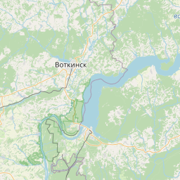


Leaflet | © OpenStreetMap
How far is it between Nytva and Osa
Nytva is located in Russia with (57.9437,55.3396) coordinates and Osa is located in Russia with (57.283,55.4589) coordinates. The calculated flying distance from Nytva to Osa is equal to 46 miles which is equal to 74 km.
If you want to go by car, the driving distance between Nytva and Osa is 122.48 km. If you ride your car with an average speed of 112 kilometers/hour (70 miles/h), travel time will be 01 hours 05 minutes. Please check the avg. speed travel time table on the right for various options.
Difference between fly and go by a car is 48 km.
| City/Place | Latitude and Longitude | GPS Coordinates |
|---|---|---|
| Nytva | 57.9437, 55.3396 | 57° 56´ 37.3200'' N 55° 20´ 22.5600'' E |
| Osa | 57.283, 55.4589 | 57° 16´ 58.8000'' N 55° 27´ 32.0400'' E |
Estimated Travel Time Between Nytva and Osa
| Average Speed | Travel Time |
|---|---|
| 30 mph (48 km/h) | 02 hours 33 minutes |
| 40 mph (64 km/h) | 01 hours 54 minutes |
| 50 mph (80 km/h) | 01 hours 31 minutes |
| 60 mph (97 km/h) | 01 hours 15 minutes |
| 70 mph (112 km/h) | 01 hours 05 minutes |
| 75 mph (120 km/h) | 01 hours 01 minutes |
Nytva, Perm, Russia
Related Distances from Nytva
| Cities | Distance |
|---|---|
| Nytva to Solikamsk | 271 km |
| Nytva to Osa | 122 km |
| Nytva to Ocher | 49 km |
| Nytva to Vereshchagino | 72 km |
Osa, Perm, Russia
Related Distances to Osa
| Cities | Distance |
|---|---|
| Aleksandrovsk to Osa | 377 km |
| Kungur to Osa | 139 km |
| Berezniki to Osa | 323 km |
| Krasnokamsk to Osa | 159 km |
| Ocher to Osa | 106 km |