Distance from Ocala to Edgewater
Distance between Ocala and Edgewater is 122 kilometers (76 miles).
Driving distance from Ocala to Edgewater is 154 kilometers (96 miles).
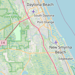
Distance Map Between Ocala and Edgewater
Ocala, Tallahassee, United States ↔ Edgewater, Tallahassee, United States = 76 miles = 122 km.


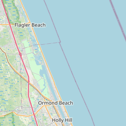


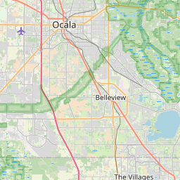


How far is it between Ocala and Edgewater
Ocala is located in United States with (29.1872,-82.1401) coordinates and Edgewater is located in United States with (28.9889,-80.9023) coordinates. The calculated flying distance from Ocala to Edgewater is equal to 76 miles which is equal to 122 km.
If you want to go by car, the driving distance between Ocala and Edgewater is 154.03 km. If you ride your car with an average speed of 112 kilometers/hour (70 miles/h), travel time will be 01 hours 22 minutes. Please check the avg. speed travel time table on the right for various options.
Difference between fly and go by a car is 32 km.
| City/Place | Latitude and Longitude | GPS Coordinates |
|---|---|---|
| Ocala | 29.1872, -82.1401 | 29° 11´ 13.9200'' N 82° 8´ 24.3240'' W |
| Edgewater | 28.9889, -80.9023 | 28° 59´ 19.9680'' N 80° 54´ 8.2080'' W |
Estimated Travel Time Between Ocala and Edgewater
| Average Speed | Travel Time |
|---|---|
| 30 mph (48 km/h) | 03 hours 12 minutes |
| 40 mph (64 km/h) | 02 hours 24 minutes |
| 50 mph (80 km/h) | 01 hours 55 minutes |
| 60 mph (97 km/h) | 01 hours 35 minutes |
| 70 mph (112 km/h) | 01 hours 22 minutes |
| 75 mph (120 km/h) | 01 hours 17 minutes |
Related Distances from Ocala
| Cities | Distance |
|---|---|
| Ocala to Daytona Beach | 125 km |
| Ocala to Miami | 487 km |
| Ocala to Melbourne 2 | 238 km |
| Ocala to Gainesville | 61 km |
| Ocala to Kissimmee | 146 km |
Related Distances to Edgewater
| Cities | Distance |
|---|---|
| Port Orange to Edgewater | 21 km |
| Miami Beach to Edgewater | 396 km |
| Ocala to Edgewater | 154 km |
| Ormond Beach to Edgewater | 54 km |
| Tampa to Edgewater | 228 km |