Distance from Ocher to Kostanay
Distance between Ocher and Kostanay is 763 kilometers (474 miles).
Driving distance from Ocher to Kostanay is 1006 kilometers (625 miles).
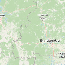
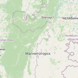
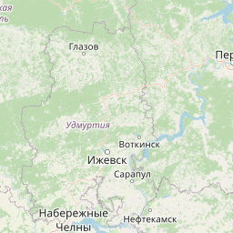
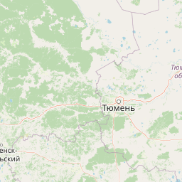
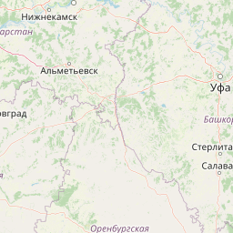
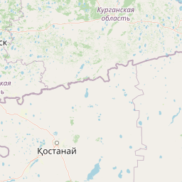
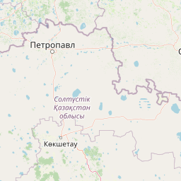
Distance Map Between Ocher and Kostanay
Ocher, Perm, Russia ↔ Kostanay, Kazakhstan = 474 miles = 763 km.


How far is it between Ochër and Kostanay
Ocher is located in Russia with (57.8904,54.7202) coordinates and Kostanay is located in Kazakhstan with (53.2144,63.6246) coordinates. The calculated flying distance from Ocher to Kostanay is equal to 474 miles which is equal to 763 km.
If you want to go by car, the driving distance between Ocher and Kostanay is 1006.03 km. If you ride your car with an average speed of 112 kilometers/hour (70 miles/h), travel time will be 08 hours 58 minutes. Please check the avg. speed travel time table on the right for various options.
Difference between fly and go by a car is 243 km.
| City/Place | Latitude and Longitude | GPS Coordinates |
|---|---|---|
| Ocher | 57.8904, 54.7202 | 57° 53´ 25.2600'' N 54° 43´ 12.6840'' E |
| Kostanay | 53.2144, 63.6246 | 53° 12´ 51.6600'' N 63° 37´ 28.6680'' E |
Estimated Travel Time Between Ochër and Kostanay
| Average Speed | Travel Time |
|---|---|
| 30 mph (48 km/h) | 20 hours 57 minutes |
| 40 mph (64 km/h) | 15 hours 43 minutes |
| 50 mph (80 km/h) | 12 hours 34 minutes |
| 60 mph (97 km/h) | 10 hours 22 minutes |
| 70 mph (112 km/h) | 08 hours 58 minutes |
| 75 mph (120 km/h) | 08 hours 23 minutes |
Related Distances from Ocher
| Cities | Distance |
|---|---|
| Ocher to Aqtobe | 1109 km |
| Ocher to Astana | 1604 km |
| Ocher to Atyrau | 1457 km |
| Ocher to Karagandy | 1800 km |
| Ocher to Kostanay | 1006 km |
| Ocher to Kyzyl Orda | 2223 km |
| Ocher to Kyzylorda | 2228 km |
| Ocher to Oral | 938 km |
| Ocher to Petropavlovsk | 1097 km |
| Ocher to Taraz | 2835 km |
Related Distances to Kostanay
| Cities | Distance |
|---|---|
| Chelyabinsk to Kostanay | 318 km |
| Nizhniy Novgorod to Kostanay | 1667 km |
| Novosibirsk to Kostanay | 1375 km |
| Kazan to Kostanay | 1268 km |
| Yekaterinburg to Kostanay | 547 km |
| Kudymkar to Kostanay | 1093 km |
| Orenburg to Kostanay | 811 km |
| Miass to Kostanay | 367 km |
| Zlatoust to Kostanay | 402 km |
| Kurgan to Kostanay | 388 km |