Distance from Ocoee to Miami
Distance between Ocoee and Miami is 338 kilometers (210 miles).
Driving distance from Ocoee to Miami is 383 kilometers (238 miles).
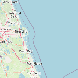
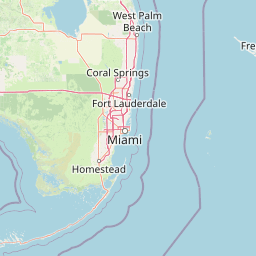
Distance Map Between Ocoee and Miami
Ocoee, Tallahassee, United States ↔ Miami, Tallahassee, United States = 210 miles = 338 km.


How far is it between Ocoee and Miami
Ocoee is located in United States with (28.5692,-81.544) coordinates and Miami is located in United States with (25.7743,-80.1937) coordinates. The calculated flying distance from Ocoee to Miami is equal to 210 miles which is equal to 338 km.
If you want to go by car, the driving distance between Ocoee and Miami is 383.19 km. If you ride your car with an average speed of 112 kilometers/hour (70 miles/h), travel time will be 03 hours 25 minutes. Please check the avg. speed travel time table on the right for various options.
Difference between fly and go by a car is 45 km.
| City/Place | Latitude and Longitude | GPS Coordinates |
|---|---|---|
| Ocoee | 28.5692, -81.544 | 28° 34´ 9.0120'' N 81° 32´ 38.2560'' W |
| Miami | 25.7743, -80.1937 | 25° 46´ 27.3720'' N 80° 11´ 37.1760'' W |
Estimated Travel Time Between Ocoee and Miami
| Average Speed | Travel Time |
|---|---|
| 30 mph (48 km/h) | 07 hours 58 minutes |
| 40 mph (64 km/h) | 05 hours 59 minutes |
| 50 mph (80 km/h) | 04 hours 47 minutes |
| 60 mph (97 km/h) | 03 hours 57 minutes |
| 70 mph (112 km/h) | 03 hours 25 minutes |
| 75 mph (120 km/h) | 03 hours 11 minutes |
Related Distances from Ocoee
| Cities | Distance |
|---|---|
| Ocoee to Deltona | 67 km |
| Ocoee to Ocala | 112 km |
| Ocoee to Kissimmee | 42 km |
| Ocoee to Daytona Beach | 107 km |
| Ocoee to Jacksonville | 246 km |
Related Distances to Miami
| Cities | Distance |
|---|---|
| Orlando to Miami | 378 km |
| Naples to Miami | 201 km |
| West Palm Beach to Miami | 114 km |
| New York City to Miami | 2055 km |
| Panama City to Miami | 934 km |