Distance from Odessa to Uvarovo
Distance between Odessa and Uvarovo is 1035 kilometers (643 miles).
Driving distance from Odessa to Uvarovo is 1479 kilometers (919 miles).
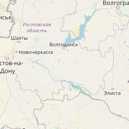
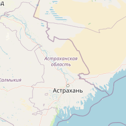
Distance Map Between Odessa and Uvarovo
Odessa, Ukraine ↔ Uvarovo, Tambov, Russia = 643 miles = 1035 km.


How far is it between Odessa and Uvarovo
Odessa is located in Ukraine with (46.4775,30.7326) coordinates and Uvarovo is located in Russia with (51.9849,42.2615) coordinates. The calculated flying distance from Odessa to Uvarovo is equal to 643 miles which is equal to 1035 km.
If you want to go by car, the driving distance between Odessa and Uvarovo is 1479.27 km. If you ride your car with an average speed of 112 kilometers/hour (70 miles/h), travel time will be 13 hours 12 minutes. Please check the avg. speed travel time table on the right for various options.
Difference between fly and go by a car is 444 km.
| City/Place | Latitude and Longitude | GPS Coordinates |
|---|---|---|
| Odessa | 46.4775, 30.7326 | 46° 28´ 38.8920'' N 30° 43´ 57.4320'' E |
| Uvarovo | 51.9849, 42.2615 | 51° 59´ 5.4960'' N 42° 15´ 41.2920'' E |
Estimated Travel Time Between Odessa and Uvarovo
| Average Speed | Travel Time |
|---|---|
| 30 mph (48 km/h) | 30 hours 49 minutes |
| 40 mph (64 km/h) | 23 hours 06 minutes |
| 50 mph (80 km/h) | 18 hours 29 minutes |
| 60 mph (97 km/h) | 15 hours 15 minutes |
| 70 mph (112 km/h) | 13 hours 12 minutes |
| 75 mph (120 km/h) | 12 hours 19 minutes |
Related Distances from Odessa
| Cities | Distance |
|---|---|
| Odessa to Moscow | 1323 km |
| Odessa to Saint Petersburg | 1725 km |
| Odessa to Kotovsk | 1396 km |
| Odessa to Rostov | 1551 km |
| Odessa to Tula | 1185 km |
Related Distances to Uvarovo
| Cities | Distance |
|---|---|
| Kiev to Uvarovo | 981 km |
| Kharkiv to Uvarovo | 620 km |
| Donetsk to Uvarovo | 846 km |
| Zaporizhzhya to Uvarovo | 898 km |
| Dnipropetrovsk to Uvarovo | 833 km |