Distance from Okolona to Bowling Green
Distance between Okolona and Bowling Green is 144 kilometers (90 miles).
Driving distance from Okolona to Bowling Green is 171 kilometers (106 miles).
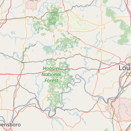
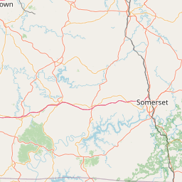
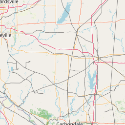
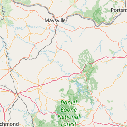
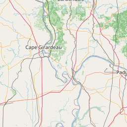
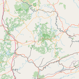
Distance Map Between Okolona and Bowling Green
Okolona, Frankfort, United States ↔ Bowling Green, Frankfort, United States = 90 miles = 144 km.


How far is it between Okolona and Bowling Green
Okolona is located in United States with (38.1412,-85.6877) coordinates and Bowling Green is located in United States with (36.9903,-86.4436) coordinates. The calculated flying distance from Okolona to Bowling Green is equal to 90 miles which is equal to 144 km.
If you want to go by car, the driving distance between Okolona and Bowling Green is 171.04 km. If you ride your car with an average speed of 112 kilometers/hour (70 miles/h), travel time will be 01 hours 31 minutes. Please check the avg. speed travel time table on the right for various options.
Difference between fly and go by a car is 27 km.
| City/Place | Latitude and Longitude | GPS Coordinates |
|---|---|---|
| Okolona | 38.1412, -85.6877 | 38° 8´ 28.2480'' N 85° 41´ 15.8640'' W |
| Bowling Green | 36.9903, -86.4436 | 36° 59´ 25.1520'' N 86° 26´ 36.9600'' W |
Estimated Travel Time Between Okolona and Bowling Green
| Average Speed | Travel Time |
|---|---|
| 30 mph (48 km/h) | 03 hours 33 minutes |
| 40 mph (64 km/h) | 02 hours 40 minutes |
| 50 mph (80 km/h) | 02 hours 08 minutes |
| 60 mph (97 km/h) | 01 hours 45 minutes |
| 70 mph (112 km/h) | 01 hours 31 minutes |
| 75 mph (120 km/h) | 01 hours 25 minutes |
Related Distances from Okolona
| Cities | Distance |
|---|---|
| Okolona to Louisville | 17 km |
| Okolona to Elizabethtown | 58 km |
| Okolona to Murray 2 | 354 km |
| Okolona to Ironville | 304 km |
| Okolona to Newburg | 5 km |
Related Distances to Bowling Green
| Cities | Distance |
|---|---|
| Louisville to Bowling Green | 184 km |
| Lexington to Bowling Green | 252 km |
| Kent 2 to Bowling Green 2 | 218 km |
| Elizabethtown to Bowling Green | 116 km |
| Tiffin to Bowling Green 2 | 62 km |