Distance from Oldham to Preston
Distance between Oldham and Preston is 47 kilometers (29 miles).
Driving distance from Oldham to Preston is 65 kilometers (40 miles).
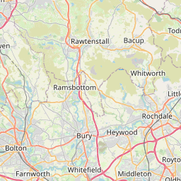
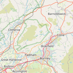
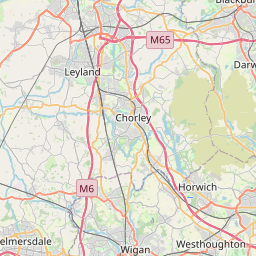
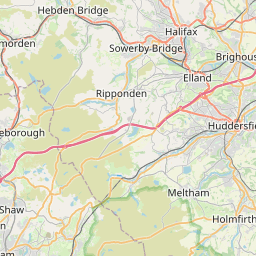
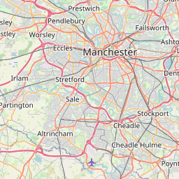
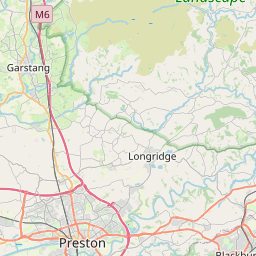
Distance Map Between Oldham and Preston
Oldham, London, United Kingdom ↔ Preston, London, United Kingdom = 29 miles = 47 km.


How far is it between Oldham and Preston
Oldham is located in United Kingdom with (53.5405,-2.1183) coordinates and Preston is located in United Kingdom with (53.7667,-2.7167) coordinates. The calculated flying distance from Oldham to Preston is equal to 29 miles which is equal to 47 km.
If you want to go by car, the driving distance between Oldham and Preston is 65.13 km. If you ride your car with an average speed of 112 kilometers/hour (70 miles/h), travel time will be 00 hours 34 minutes. Please check the avg. speed travel time table on the right for various options.
Difference between fly and go by a car is 18 km.
| City/Place | Latitude and Longitude | GPS Coordinates |
|---|---|---|
| Oldham | 53.5405, -2.1183 | 53° 32´ 25.8360'' N 2° 7´ 5.8800'' W |
| Preston | 53.7667, -2.7167 | 53° 46´ 0.0120'' N 2° 43´ 0.0120'' W |
Estimated Travel Time Between Oldham and Preston
| Average Speed | Travel Time |
|---|---|
| 30 mph (48 km/h) | 01 hours 21 minutes |
| 40 mph (64 km/h) | 01 hours 01 minutes |
| 50 mph (80 km/h) | 00 hours 48 minutes |
| 60 mph (97 km/h) | 00 hours 40 minutes |
| 70 mph (112 km/h) | 00 hours 34 minutes |
| 75 mph (120 km/h) | 00 hours 32 minutes |
Related Distances from Oldham
| Cities | Distance |
|---|---|
| Oldham to Sale 2 | 32 km |
| Oldham to Rochdale | 11 km |
| Oldham to Sheffield | 66 km |
| Oldham to Swinton | 24 km |
| Oldham to Warrington | 45 km |
Related Distances to Preston
| Cities | Distance |
|---|---|
| Manchester to Preston | 59 km |
| Liverpool to Preston | 60 km |
| London to Preston | 371 km |
| Blackpool to Preston | 29 km |
| Birmingham to Preston | 176 km |