Distance from Olney to Elkton
Distance between Olney and Elkton is 117 kilometers (73 miles).
Driving distance from Olney to Elkton is 151 kilometers (94 miles).
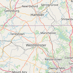
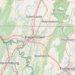
Distance Map Between Olney and Elkton
Olney, Annapolis, United States ↔ Elkton, Annapolis, United States = 73 miles = 117 km.


How far is it between Olney and Elkton
Olney is located in United States with (39.1532,-77.0669) coordinates and Elkton is located in United States with (39.6068,-75.8333) coordinates. The calculated flying distance from Olney to Elkton is equal to 73 miles which is equal to 117 km.
If you want to go by car, the driving distance between Olney and Elkton is 150.87 km. If you ride your car with an average speed of 112 kilometers/hour (70 miles/h), travel time will be 01 hours 20 minutes. Please check the avg. speed travel time table on the right for various options.
Difference between fly and go by a car is 34 km.
| City/Place | Latitude and Longitude | GPS Coordinates |
|---|---|---|
| Olney | 39.1532, -77.0669 | 39° 9´ 11.3760'' N 77° 4´ 0.9120'' W |
| Elkton | 39.6068, -75.8333 | 39° 36´ 24.4080'' N 75° 49´ 59.7720'' W |
Estimated Travel Time Between Olney and Elkton
| Average Speed | Travel Time |
|---|---|
| 30 mph (48 km/h) | 03 hours 08 minutes |
| 40 mph (64 km/h) | 02 hours 21 minutes |
| 50 mph (80 km/h) | 01 hours 53 minutes |
| 60 mph (97 km/h) | 01 hours 33 minutes |
| 70 mph (112 km/h) | 01 hours 20 minutes |
| 75 mph (120 km/h) | 01 hours 15 minutes |
Related Distances from Olney
| Cities | Distance |
|---|---|
| Olney to Columbia 3 | 45 km |
| Olney to Baltimore | 59 km |
| Olney to Germantown | 28 km |
| Olney to Odenton | 50 km |
| Olney to North Potomac | 25 km |
Related Distances to Elkton
| Cities | Distance |
|---|---|
| North Bel Air to Elkton | 58 km |
| Laurel to Elkton | 120 km |
| Middle River to Elkton | 79 km |
| Ellicott City to Elkton | 115 km |
| Glen Burnie to Elkton | 104 km |