Distance from Olympia to Boston
Distance between Olympia and Boston is 4055 kilometers (2519 miles).
Driving distance from Olympia to Boston is 4976 kilometers (3092 miles).
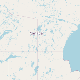
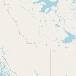
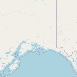
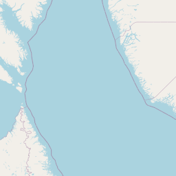
Distance Map Between Olympia and Boston
Olympia, United States ↔ Boston, United States = 2519 miles = 4055 km.


How far is it between Olympia and Boston
Olympia is located in United States with (47.0379,-122.9007) coordinates and Boston is located in United States with (42.3584,-71.0598) coordinates. The calculated flying distance from Olympia to Boston is equal to 2519 miles which is equal to 4055 km.
If you want to go by car, the driving distance between Olympia and Boston is 4975.98 km. If you ride your car with an average speed of 112 kilometers/hour (70 miles/h), travel time will be 44 hours 25 minutes. Please check the avg. speed travel time table on the right for various options.
Difference between fly and go by a car is 921 km.
| City/Place | Latitude and Longitude | GPS Coordinates |
|---|---|---|
| Olympia | 47.0379, -122.9007 | 47° 2´ 16.3320'' N 122° 54´ 2.5200'' W |
| Boston | 42.3584, -71.0598 | 42° 21´ 30.3480'' N 71° 3´ 35.1720'' W |
Estimated Travel Time Between Olympia and Boston
| Average Speed | Travel Time |
|---|---|
| 30 mph (48 km/h) | 103 hours 39 minutes |
| 40 mph (64 km/h) | 77 hours 44 minutes |
| 50 mph (80 km/h) | 62 hours 11 minutes |
| 60 mph (97 km/h) | 51 hours 17 minutes |
| 70 mph (112 km/h) | 44 hours 25 minutes |
| 75 mph (120 km/h) | 41 hours 27 minutes |
Related Distances from Olympia
| Cities | Distance |
|---|---|
| Olympia to Washington D C | 4520 km |
| Olympia to Sacramento | 1115 km |
| Olympia to Salem 2 | 257 km |
| Olympia to Carson City | 1086 km |
| Olympia to Phoenix | 2329 km |
Related Distances to Boston
| Cities | Distance |
|---|---|
| New York City to Boston | 347 km |
| Washington D C to Boston | 709 km |
| Los Angeles to Boston | 4801 km |
| Philadelphia to Boston | 498 km |
| Seattle to Boston | 4877 km |