Distance from Omsk to Khromtau
Distance between Omsk and Khromtau is 1134 kilometers (705 miles).
Driving distance from Omsk to Khromtau is 1411 kilometers (877 miles).
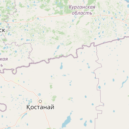
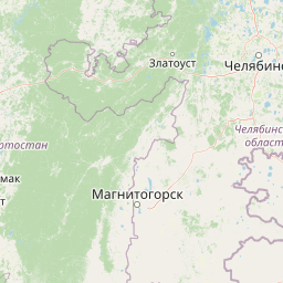
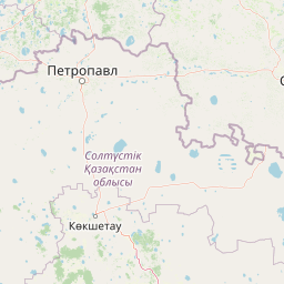
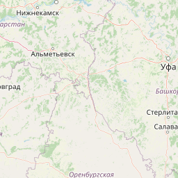
Distance Map Between Omsk and Khromtau
Omsk, Russia ↔ Khromtau, Aqtobe, Kazakhstan = 705 miles = 1134 km.


How far is it between Omsk and Khromtau
Omsk is located in Russia with (54.9924,73.3686) coordinates and Khromtau is located in Kazakhstan with (50.2512,58.44) coordinates. The calculated flying distance from Omsk to Khromtau is equal to 705 miles which is equal to 1134 km.
If you want to go by car, the driving distance between Omsk and Khromtau is 1410.89 km. If you ride your car with an average speed of 112 kilometers/hour (70 miles/h), travel time will be 12 hours 35 minutes. Please check the avg. speed travel time table on the right for various options.
Difference between fly and go by a car is 277 km.
| City/Place | Latitude and Longitude | GPS Coordinates |
|---|---|---|
| Omsk | 54.9924, 73.3686 | 54° 59´ 32.7840'' N 73° 22´ 6.9240'' E |
| Khromtau | 50.2512, 58.44 | 50° 15´ 4.2120'' N 58° 26´ 24.1080'' E |
Estimated Travel Time Between Omsk and Khromtau
| Average Speed | Travel Time |
|---|---|
| 30 mph (48 km/h) | 29 hours 23 minutes |
| 40 mph (64 km/h) | 22 hours 02 minutes |
| 50 mph (80 km/h) | 17 hours 38 minutes |
| 60 mph (97 km/h) | 14 hours 32 minutes |
| 70 mph (112 km/h) | 12 hours 35 minutes |
| 75 mph (120 km/h) | 11 hours 45 minutes |
Related Distances from Omsk
| Cities | Distance |
|---|---|
| Omsk to Astana | 586 km |
| Omsk to Petropavlovsk | 286 km |
| Omsk to Almaty | 1797 km |
| Omsk to Pavlodar | 423 km |
| Omsk to Rudnyy | 776 km |
Related Distances to Khromtau
| Cities | Distance |
|---|---|
| Kazan to Khromtau | 1084 km |
| Ufa to Khromtau | 690 km |
| Chelyabinsk to Khromtau | 724 km |
| Yekaterinburg to Khromtau | 934 km |
| Omsk to Khromtau | 1411 km |