Distance from Omsk to Kostroma
Distance between Omsk and Kostroma is 2001 kilometers (1243 miles).
Driving distance from Omsk to Kostroma is 2409 kilometers (1497 miles).
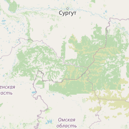
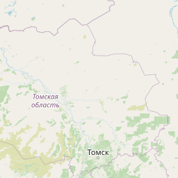
Distance Map Between Omsk and Kostroma
Omsk, Russia ↔ Kostroma, Russia = 1243 miles = 2001 km.


How far is it between Omsk and Kostroma
Omsk is located in Russia with (54.9924,73.3686) coordinates and Kostroma is located in Russia with (57.7665,40.9269) coordinates. The calculated flying distance from Omsk to Kostroma is equal to 1243 miles which is equal to 2001 km.
If you want to go by car, the driving distance between Omsk and Kostroma is 2409.13 km. If you ride your car with an average speed of 112 kilometers/hour (70 miles/h), travel time will be 21 hours 30 minutes. Please check the avg. speed travel time table on the right for various options.
Difference between fly and go by a car is 408 km.
| City/Place | Latitude and Longitude | GPS Coordinates |
|---|---|---|
| Omsk | 54.9924, 73.3686 | 54° 59´ 32.7840'' N 73° 22´ 6.9240'' E |
| Kostroma | 57.7665, 40.9269 | 57° 45´ 59.2920'' N 40° 55´ 36.6960'' E |
Estimated Travel Time Between Omsk and Kostroma
| Average Speed | Travel Time |
|---|---|
| 30 mph (48 km/h) | 50 hours 11 minutes |
| 40 mph (64 km/h) | 37 hours 38 minutes |
| 50 mph (80 km/h) | 30 hours 06 minutes |
| 60 mph (97 km/h) | 24 hours 50 minutes |
| 70 mph (112 km/h) | 21 hours 30 minutes |
| 75 mph (120 km/h) | 20 hours 04 minutes |
Related Distances from Omsk
| Cities | Distance |
|---|---|
| Omsk to Moscow | 2697 km |
| Omsk to Tomsk | 909 km |
| Omsk to Saint Petersburg | 3175 km |
| Omsk to Perm | 1309 km |
| Omsk to Yekaterinburg | 948 km |
Related Distances to Kostroma
| Cities | Distance |
|---|---|
| Astrakhan to Kostroma | 1737 km |
| Kemerovo to Kostroma | 3315 km |
| Belgorod to Kostroma | 1008 km |
| Ivanovo to Kostroma | 106 km |
| Izhevsk to Kostroma | 1022 km |