Distance from Oostkamp to Peer
Distance between Oostkamp and Peer is 155 kilometers (97 miles).
Driving distance from Oostkamp to Peer is 188 kilometers (117 miles).
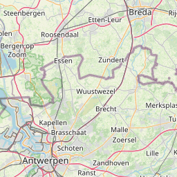
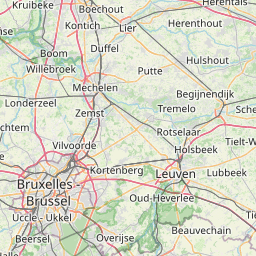
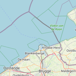
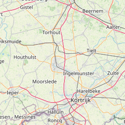
Distance Map Between Oostkamp and Peer
Oostkamp, , Belgium ↔ Peer, , Belgium = 97 miles = 155 km.


How far is it between Oostkamp and Peer
Oostkamp is located in Belgium with (51.1543,3.2313) coordinates and Peer is located in Belgium with (51.1303,5.4595) coordinates. The calculated flying distance from Oostkamp to Peer is equal to 97 miles which is equal to 155 km.
If you want to go by car, the driving distance between Oostkamp and Peer is 188.42 km. If you ride your car with an average speed of 112 kilometers/hour (70 miles/h), travel time will be 01 hours 40 minutes. Please check the avg. speed travel time table on the right for various options.
Difference between fly and go by a car is 33 km.
| City/Place | Latitude and Longitude | GPS Coordinates |
|---|---|---|
| Oostkamp | 51.1543, 3.2313 | 51° 9´ 15.5520'' N 3° 13´ 52.6080'' E |
| Peer | 51.1303, 5.4595 | 51° 7´ 49.0800'' N 5° 27´ 34.2720'' E |
Estimated Travel Time Between Oostkamp and Peer
| Average Speed | Travel Time |
|---|---|
| 30 mph (48 km/h) | 03 hours 55 minutes |
| 40 mph (64 km/h) | 02 hours 56 minutes |
| 50 mph (80 km/h) | 02 hours 21 minutes |
| 60 mph (97 km/h) | 01 hours 56 minutes |
| 70 mph (112 km/h) | 01 hours 40 minutes |
| 75 mph (120 km/h) | 01 hours 34 minutes |
Related Distances from Oostkamp
| Cities | Distance |
|---|---|
| Oostkamp to Roeselare | 34 km |
| Oostkamp to Zottegem | 61 km |
| Oostkamp to Waregem | 38 km |
| Oostkamp to Tongeren | 181 km |
| Oostkamp to Peer | 188 km |
Related Distances to Peer
| Cities | Distance |
|---|---|
| Antwerpen to Peer | 83 km |
| Hasselt to Peer | 26 km |
| Asse to Peer | 113 km |
| Lommel to Peer | 24 km |
| Brugge to Peer | 195 km |