Distance from Oradea to Budapest
Distance between Oradea and Budapest is 223 kilometers (139 miles).
Driving distance from Oradea to Budapest is 307 kilometers (191 miles).
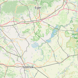
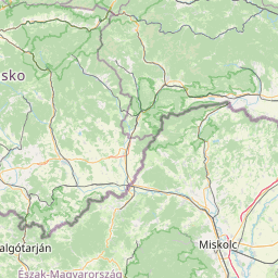
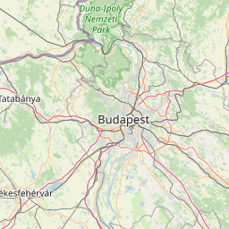
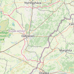
Distance Map Between Oradea and Budapest
Oradea, Romania ↔ Budapest, Hungary = 139 miles = 223 km.


How far is it between Oradea and Budapest
Oradea is located in Romania with (47.0667,21.9333) coordinates and Budapest is located in Hungary with (47.498,19.0399) coordinates. The calculated flying distance from Oradea to Budapest is equal to 139 miles which is equal to 223 km.
If you want to go by car, the driving distance between Oradea and Budapest is 306.96 km. If you ride your car with an average speed of 112 kilometers/hour (70 miles/h), travel time will be 02 hours 44 minutes. Please check the avg. speed travel time table on the right for various options.
Difference between fly and go by a car is 84 km.
| City/Place | Latitude and Longitude | GPS Coordinates |
|---|---|---|
| Oradea | 47.0667, 21.9333 | 47° 4´ 0.0120'' N 21° 55´ 59.9880'' E |
| Budapest | 47.498, 19.0399 | 47° 29´ 52.8360'' N 19° 2´ 23.6760'' E |
Estimated Travel Time Between Oradea and Budapest
| Average Speed | Travel Time |
|---|---|
| 30 mph (48 km/h) | 06 hours 23 minutes |
| 40 mph (64 km/h) | 04 hours 47 minutes |
| 50 mph (80 km/h) | 03 hours 50 minutes |
| 60 mph (97 km/h) | 03 hours 09 minutes |
| 70 mph (112 km/h) | 02 hours 44 minutes |
| 75 mph (120 km/h) | 02 hours 33 minutes |
Related Distances to Budapest
| Cities | Distance |
|---|---|
| Aiud to Budapest | 521 km |
| Salonta to Budapest | 266 km |
| Zarnesti to Budapest | 685 km |
| Targoviste to Budapest | 788 km |
| Piatra Neamt to Budapest | 732 km |
| Drobeta Turnu Severin to Budapest | 526 km |
| Ploiesti to Budapest | 797 km |
| Slobozia to Budapest | 966 km |
| Timisoara to Budapest | 288 km |
| Bistrita to Budapest | 522 km |