Distance from Ormond Beach to Ocala
Distance between Ormond Beach and Ocala is 106 kilometers (66 miles).
Driving distance from Ormond Beach to Ocala is 114 kilometers (71 miles).
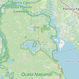
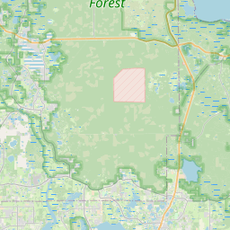
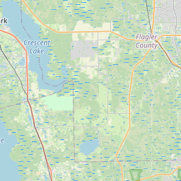
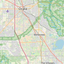
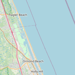
Distance Map Between Ormond Beach and Ocala
Ormond Beach, Tallahassee, United States ↔ Ocala, Tallahassee, United States = 66 miles = 106 km.


How far is it between Ormond Beach and Ocala
Ormond Beach is located in United States with (29.2858,-81.0559) coordinates and Ocala is located in United States with (29.1872,-82.1401) coordinates. The calculated flying distance from Ormond Beach to Ocala is equal to 66 miles which is equal to 106 km.
If you want to go by car, the driving distance between Ormond Beach and Ocala is 113.53 km. If you ride your car with an average speed of 112 kilometers/hour (70 miles/h), travel time will be 01 hours 00 minutes. Please check the avg. speed travel time table on the right for various options.
Difference between fly and go by a car is 8 km.
| City/Place | Latitude and Longitude | GPS Coordinates |
|---|---|---|
| Ormond Beach | 29.2858, -81.0559 | 29° 17´ 8.9160'' N 81° 3´ 21.2040'' W |
| Ocala | 29.1872, -82.1401 | 29° 11´ 13.9200'' N 82° 8´ 24.3240'' W |
Estimated Travel Time Between Ormond Beach and Ocala
| Average Speed | Travel Time |
|---|---|
| 30 mph (48 km/h) | 02 hours 21 minutes |
| 40 mph (64 km/h) | 01 hours 46 minutes |
| 50 mph (80 km/h) | 01 hours 25 minutes |
| 60 mph (97 km/h) | 01 hours 10 minutes |
| 70 mph (112 km/h) | 01 hours 00 minutes |
| 75 mph (120 km/h) | 00 hours 56 minutes |
Related Distances from Ormond Beach
| Cities | Distance |
|---|---|
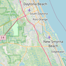
| Ormond Beach to Daytona Beach | 10 km |
| Ormond Beach to New Smyrna Beach | 45 km |
| Ormond Beach to Jupiter | 306 km |
| Ormond Beach to Melbourne 2 | 156 km |
| Ormond Beach to Orlando | 99 km |
Related Distances to Ocala
| Cities | Distance |
|---|---|
| Orlando to Ocala | 127 km |
| Tampa to Ocala | 157 km |
| The Villages to Ocala | 36 km |
| Vero Beach to Ocala | 281 km |
| Pensacola to Ocala | 605 km |