Distance from Ostend to Stabroek
Distance between Ostend and Stabroek is 101 kilometers (63 miles).
Driving distance from Ostend to Stabroek is 139 kilometers (87 miles).
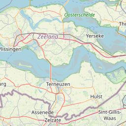
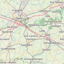
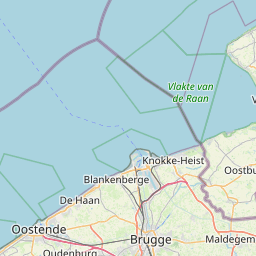
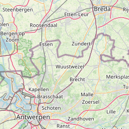
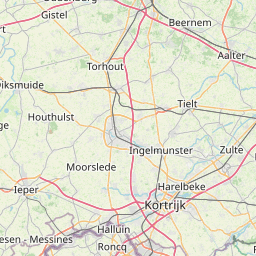
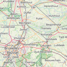
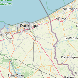
Distance Map Between Ostend and Stabroek
Ostend, , Belgium ↔ Stabroek, , Belgium = 63 miles = 101 km.


How far is it between Ostend and Stabroek
Ostend is located in Belgium with (51.2155,2.927) coordinates and Stabroek is located in Belgium with (51.3319,4.3713) coordinates. The calculated flying distance from Ostend to Stabroek is equal to 63 miles which is equal to 101 km.
If you want to go by car, the driving distance between Ostend and Stabroek is 139.24 km. If you ride your car with an average speed of 112 kilometers/hour (70 miles/h), travel time will be 01 hours 14 minutes. Please check the avg. speed travel time table on the right for various options.
Difference between fly and go by a car is 38 km.
| City/Place | Latitude and Longitude | GPS Coordinates |
|---|---|---|
| Ostend | 51.2155, 2.927 | 51° 12´ 55.8360'' N 2° 55´ 37.2000'' E |
| Stabroek | 51.3319, 4.3713 | 51° 19´ 54.8040'' N 4° 22´ 16.5720'' E |
Estimated Travel Time Between Ostend and Stabroek
| Average Speed | Travel Time |
|---|---|
| 30 mph (48 km/h) | 02 hours 54 minutes |
| 40 mph (64 km/h) | 02 hours 10 minutes |
| 50 mph (80 km/h) | 01 hours 44 minutes |
| 60 mph (97 km/h) | 01 hours 26 minutes |
| 70 mph (112 km/h) | 01 hours 14 minutes |
| 75 mph (120 km/h) | 01 hours 09 minutes |
Related Distances from Ostend
| Cities | Distance |
|---|---|
| Ostend to Zaventem | 122 km |
| Ostend to Roeselare | 49 km |
| Ostend to Zele | 89 km |
| Ostend to Zemst | 131 km |
| Ostend to Oudenaarde | 83 km |
Related Distances to Stabroek
| Cities | Distance |
|---|---|
| Geel to Stabroek | 60 km |
| Antwerpen to Stabroek | 16 km |
| Brecht to Stabroek | 31 km |
| Dilbeek to Stabroek | 75 km |
| Knokke Heist to Stabroek | 95 km |