Distance from Ostend to Wetteren
Distance between Ostend and Wetteren is 71 kilometers (44 miles).
Driving distance from Ostend to Wetteren is 75 kilometers (47 miles).
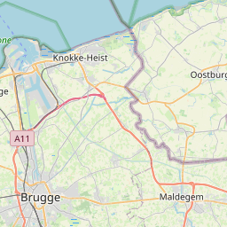
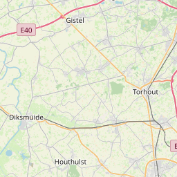
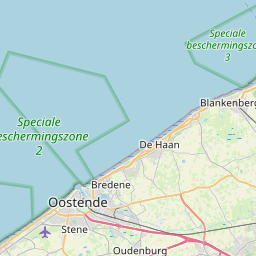
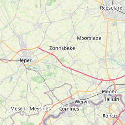
Distance Map Between Ostend and Wetteren
Ostend, , Belgium ↔ Wetteren, , Belgium = 44 miles = 71 km.


How far is it between Ostend and Wetteren
Ostend is located in Belgium with (51.2155,2.927) coordinates and Wetteren is located in Belgium with (51.0053,3.8834) coordinates. The calculated flying distance from Ostend to Wetteren is equal to 44 miles which is equal to 71 km.
If you want to go by car, the driving distance between Ostend and Wetteren is 75.37 km. If you ride your car with an average speed of 112 kilometers/hour (70 miles/h), travel time will be 00 hours 40 minutes. Please check the avg. speed travel time table on the right for various options.
Difference between fly and go by a car is 4 km.
| City/Place | Latitude and Longitude | GPS Coordinates |
|---|---|---|
| Ostend | 51.2155, 2.927 | 51° 12´ 55.8360'' N 2° 55´ 37.2000'' E |
| Wetteren | 51.0053, 3.8834 | 51° 0´ 18.9360'' N 3° 53´ 0.2760'' E |
Estimated Travel Time Between Ostend and Wetteren
| Average Speed | Travel Time |
|---|---|
| 30 mph (48 km/h) | 01 hours 34 minutes |
| 40 mph (64 km/h) | 01 hours 10 minutes |
| 50 mph (80 km/h) | 00 hours 56 minutes |
| 60 mph (97 km/h) | 00 hours 46 minutes |
| 70 mph (112 km/h) | 00 hours 40 minutes |
| 75 mph (120 km/h) | 00 hours 37 minutes |
Related Distances from Ostend
| Cities | Distance |
|---|---|
| Ostend to Zaventem | 122 km |
| Ostend to Roeselare | 49 km |
| Ostend to Zele | 89 km |
| Ostend to Zemst | 131 km |
| Ostend to Oudenaarde | 83 km |
Related Distances to Wetteren
| Cities | Distance |
|---|---|
| Gent to Wetteren | 20 km |
| Antwerpen to Wetteren | 53 km |
| Kortrijk to Wetteren | 58 km |
| Beersel to Wetteren | 53 km |
| Harelbeke to Wetteren | 52 km |