Distance from Oswego to Macomb
Distance between Oswego and Macomb is 237 kilometers (147 miles).
Driving distance from Oswego to Macomb is 320 kilometers (199 miles).
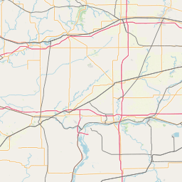
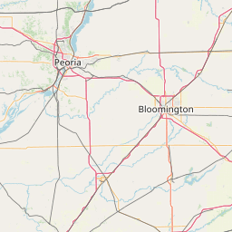
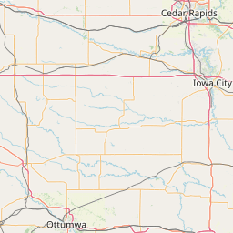
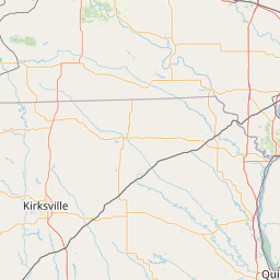
Distance Map Between Oswego and Macomb
Oswego, Springfield, United States ↔ Macomb, Springfield, United States = 147 miles = 237 km.


How far is it between Oswego and Macomb
Oswego is located in United States with (41.6828,-88.3515) coordinates and Macomb is located in United States with (40.4592,-90.6718) coordinates. The calculated flying distance from Oswego to Macomb is equal to 147 miles which is equal to 237 km.
If you want to go by car, the driving distance between Oswego and Macomb is 320.05 km. If you ride your car with an average speed of 112 kilometers/hour (70 miles/h), travel time will be 02 hours 51 minutes. Please check the avg. speed travel time table on the right for various options.
Difference between fly and go by a car is 83 km.
| City/Place | Latitude and Longitude | GPS Coordinates |
|---|---|---|
| Oswego | 41.6828, -88.3515 | 41° 40´ 58.1160'' N 88° 21´ 5.2560'' W |
| Macomb | 40.4592, -90.6718 | 40° 27´ 33.1560'' N 90° 40´ 18.4800'' W |
Estimated Travel Time Between Oswego and Macomb
| Average Speed | Travel Time |
|---|---|
| 30 mph (48 km/h) | 06 hours 40 minutes |
| 40 mph (64 km/h) | 05 hours 00 minutes |
| 50 mph (80 km/h) | 04 hours 00 minutes |
| 60 mph (97 km/h) | 03 hours 17 minutes |
| 70 mph (112 km/h) | 02 hours 51 minutes |
| 75 mph (120 km/h) | 02 hours 40 minutes |
Related Distances from Oswego
| Cities | Distance |
|---|---|
| Oswego to Geneva | 25 km |
| Oswego to Chicago | 73 km |
| Oswego to Naperville | 22 km |
| Oswego to Mundelein | 100 km |
| Oswego to Aurora 2 | 10 km |
Related Distances to Macomb
| Cities | Distance |
|---|---|
| Peoria 2 to Macomb | 111 km |
| Moline to Macomb | 126 km |
| West Chicago to Macomb | 354 km |
| Naperville to Macomb | 352 km |
| Rock Island to Macomb | 128 km |