Distance from Ottumwa to Fort Dodge
Distance between Ottumwa and Fort Dodge is 220 kilometers (136 miles).
Driving distance from Ottumwa to Fort Dodge is 282 kilometers (175 miles).
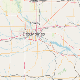
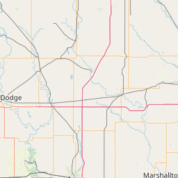
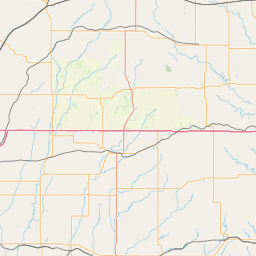
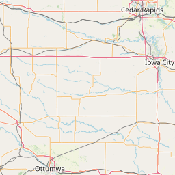
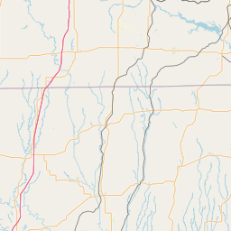
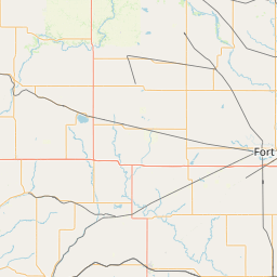
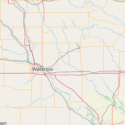
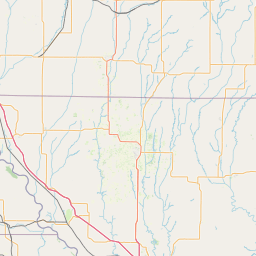
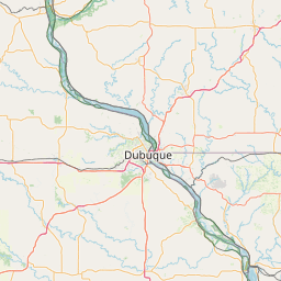
Distance Map Between Ottumwa and Fort Dodge
Ottumwa, Des Moines, United States ↔ Fort Dodge, Des Moines, United States = 136 miles = 220 km.


How far is it between Ottumwa and Fort Dodge
Ottumwa is located in United States with (41.02,-92.4113) coordinates and Fort Dodge is located in United States with (42.4975,-94.168) coordinates. The calculated flying distance from Ottumwa to Fort Dodge is equal to 136 miles which is equal to 220 km.
If you want to go by car, the driving distance between Ottumwa and Fort Dodge is 282.01 km. If you ride your car with an average speed of 112 kilometers/hour (70 miles/h), travel time will be 02 hours 31 minutes. Please check the avg. speed travel time table on the right for various options.
Difference between fly and go by a car is 62 km.
| City/Place | Latitude and Longitude | GPS Coordinates |
|---|---|---|
| Ottumwa | 41.02, -92.4113 | 41° 1´ 12.0360'' N 92° 24´ 40.6800'' W |
| Fort Dodge | 42.4975, -94.168 | 42° 29´ 50.8920'' N 94° 10´ 4.8720'' W |
Estimated Travel Time Between Ottumwa and Fort Dodge
| Average Speed | Travel Time |
|---|---|
| 30 mph (48 km/h) | 05 hours 52 minutes |
| 40 mph (64 km/h) | 04 hours 24 minutes |
| 50 mph (80 km/h) | 03 hours 31 minutes |
| 60 mph (97 km/h) | 02 hours 54 minutes |
| 70 mph (112 km/h) | 02 hours 31 minutes |
| 75 mph (120 km/h) | 02 hours 21 minutes |
Related Distances from Ottumwa
| Cities | Distance |
|---|---|
| Ottumwa to Iowa City | 140 km |
| Ottumwa to Burlington 4 | 129 km |
| Ottumwa to Cedar Rapids | 183 km |
| Ottumwa to Marshalltown | 149 km |
| Ottumwa to Newton 3 | 111 km |
Related Distances to Fort Dodge
| Cities | Distance |
|---|---|
| Iowa City to Fort Dodge | 288 km |
| Sioux City to Fort Dodge | 192 km |
| Newton 3 to Fort Dodge | 191 km |
| Waterloo 2 to Fort Dodge | 160 km |
| Mason City to Fort Dodge | 150 km |